What is recorded here
Cloonoughter holds a broken fairy fort where a field cut through ancient ownership. The south half vanished under drainage and conifers, but the north bank still curves through rough pasture like a muscle remembering voltage. People may have lived there before humans stopped listening, because the ground keeps its shape when memory leaves the body.
In rough pasture, at E end of low hill. Monument, depicted as embanked circular enclosure (diam. c. 30m) on 1923 OS 6-inch map, is now bisected by E-W field boundary. No visible surface trace of enclosure on S side of field boundary; this area has been reclaimed by insertion of drains for coniferous plantation. On N side of field boundary arc of partially levelled earthen bank (H c. 0.4m; Wth c. 2m) survives W->E, accentuated by lighter-coloured grass growing on it. This encloses D-shaped area (24m E-W; 18m N-S). Interior, raised slightly above level of surrounding area, has uneven and stony surface covered by tall grass and brambles. Short distance (c. 8m) N of enclosure land falls away steeply.
Compiled by: Denis Power
Date of upload: 26 August 2011
The monument record does not grant public access. Check the route and ask the landowner before entering private land.
- What survives
- Recorded monument
Places near here
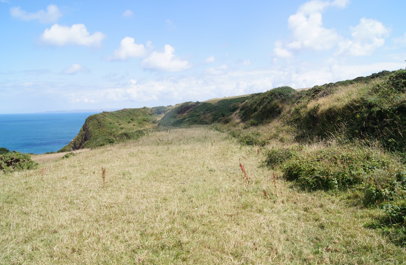 Field boundary in Killacolla (shanid By.)Field boundary · 370 yd
 Prospect HillMountain / peak · 396 yd
 Mound in Killacolla (shanid By.)Mound · 484 yd
 Church in Flean MoreChurch · 1541 yd
 IndicatedKiln, lime · 1.1 mi
 Castle (Site of)Castle, unclassified · 1.2 mi
 TobercloonaghSpring · 1.4 mi
 Bawn in Killacolla (barker)Bawn · 2.1 mi
 Mountshannon PointHeadland · 2.4 mi
 Mountshannon WoodWood · 2.4 mi
 Killanna PointHeadland · 3.0 mi
 Mountshannon EstateHeritage attraction · 3.3 mi