What is recorded here
Cloonmartin Caher is a broken ring of earth and stone on a fertile Clare ridge, its NE wall buried inside the hillside while the rest collapses into pasture. Westropp saw only low mounds in 1901, yet the shape still holds: twenty-four metres across, with rubble propped against the inner west and clearance debris piled along the outer edge. The fairness of its circle suggests people lived there before forgetting, not fantasy.
On the NE slopes of a fertile ridge in reclaimed pasture. Hachured and named ‘Cloonmartin Caher’ on the 1840 and 1916 eds. of the OS 6-inch map. Listed as a cashel in the RMP (1996). Described by Westropp (1901, 278) as a ‘caher… reduced to a ring of low and broken mounds’.
The SW of a pair of very overgrown and poorly preserved cashels (see also CL005-028002-). It is roughly circular (diam. 24.5m) and defined by a bank of earth and stone (at E: Wth 4.6m; H 1.2m). The NE side is dug into the hillside and therefore the internal height of the enclosing element is higher (c. 2m). The interior slopes slightly to the N. Clearance material lies on the enclosing element from NE to SSW and rubble is built up against the interior at W.
Compiled by: Mary Tunney and Ros Ó Maoldúin
Date of upload: 26 January 2022
Cloonmartin Caher is a circular stone enclosure, likely an early-medieval ringfort or cashel, situated on the northeast slopes of a fertile ridge. It is associated with local folklore surrounding fairy activity, as suggested by its name and the traditional Irish term "caher," often linked to supernatural or otherworldly significance.
The monument record does not grant public access. Check the route and ask the landowner before entering private land.
- What survives
- Recorded monument
Places near here
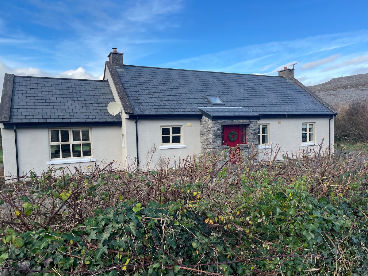 Cloonmartin CaherArchaeological place · 15 yd
 Rathborney Church (in ruins)Church · 393 yd
 Ecclesiastical enclosure in Croagh NorthEcclesiastical enclosure · 402 yd
 Rathborney R.C. ChapelChurch · 702 yd
 Gregan CastleCastle · 1015 yd
 IndicatedBawn · 1022 yd
 Bird Of Prey CentreHeritage attraction · 1.5 mi
 Aillwee CaveCave · 1.6 mi
 Gleninshing portal tombHeritage attraction · 1.9 mi
 Cullaun 1Cave · 2.1 mi
 CappanawallaMountain / peak · 2.5 mi
 Rine PointHeadland · 3.3 mi