What is recorded here
Indicated is a slightly raised oval rath in County Mayo pasture, its earthen bank still standing tall enough to block the horizon and wide enough to force a person around rather than through. The land has reused it without apology: a tractor now drives through the northern gap, hawthorn rings half the inside, and a missing building vacated the eastern edge. What remains is a living boundary marker, human-made but no longer entirely under human control.
In pasture, located on elevated ground with good views, particularly extensive to SW over a broad sweep of the surrounding pasture and bog.
Slightly raised, broadly oval area (45.5m E–W; 51m N–S) defined by an earthen bank (Wth 2.7m; int. H 0.4m; ext. H 1.1m at SSW) at NNE–SW, reduced elsewhere to a scarp (H 0.8m at W). A portion of the bank at NE has been modified to serve as a field boundary, and another section at ESE–S has been incorporated on its external face into a later field fence. A break (Wth 10m) at ENE−E may mark an enlargement of an original entrance gap. Another break (Wth 10m) at N now allows tractor access for silage cutting in the rath interior.
The interior is slightly domed, sloping down gently towards the bank from a low central rise. A building, shown adjacent to the NE side of the rath on the 1916 OS 6-inch map, has been removed.
Interior grassy; E half of the perimeter ringed with hawthorn and blackthorn.
Compiled by: Jane O’Shaughnessy
Date of upload: 26 September 2022
This remains an important historical record, but the official description says the monument is no longer visible or has been destroyed. The monument record does not grant public access. Check the route and ask the landowner before entering private land.
- What survives
- No visible remains or recorded as destroyed
Places near here
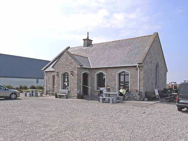 Enclosure in Lissaniska (costello By.)Enclosure · 927 yd
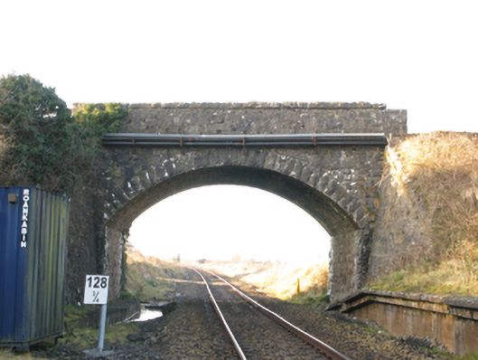 bridgebridge · 1492 yd
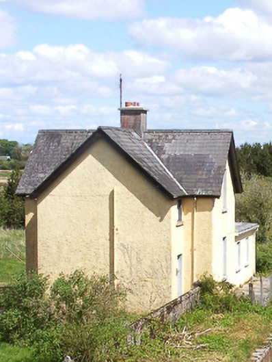 Bekan Railway Stationstation master's house · 1517 yd
 IndicatedFairy fort / earthen ringfort · 1617 yd
 Knock MuseumMuseum · 3.7 mi
 Knock ShrineHeritage attraction · 3.8 mi
 Ballybooley CastleCastle · 3.9 mi
 CastleCastle, unclassified · 4.9 mi
 Oak WoodForest · 5.8 mi
 Geoffrey's WoodForest · 6.6 mi
 Mass RockNamed rock · 15 mi
 Church (in Ruins)Church · 1.4 mi