What is recorded here
Half-swallowed by marsh and bramble, the Cloonlahard East ringfort keeps its shape in two earthen rings and a boggy ditch. The inner bank breaks at the northeast, but the outer ring holds closed, as if the fort refused to give up its boundary. Cattle graze above it now, unaware that they walk on a place built to be entered, defended, and remembered.
On N-facing slope, in low-lying area of mixed pasture and marsh. Oval area (19m N-S; 22m E-W) enclosed by two concentric earthen banks with intervening fosse; fosse and outer bank overlain/replaced by field boundary SW->NE (this area obscured by dense overgrowth of trees and bushes). Inner bank (int. H 0.7m; ext. H 1.3m) has break (Wth 0.6m) at NE but no corresponding break in outer bank. Fosse (D 0.6m; Wth 4.2m) flat-bottomed and boggy, especially on W side. Interior slopes down gently to N and is covered by tall grass, brambles and rushes.
Compiled by: Denis Power
Date of upload: 26 August 2011
The monument record does not grant public access. Check the route and ask the landowner before entering private land.
- What survives
- Recorded monument
Places near here
 Ahanagorp Burial GroundBurial ground · 985 yd
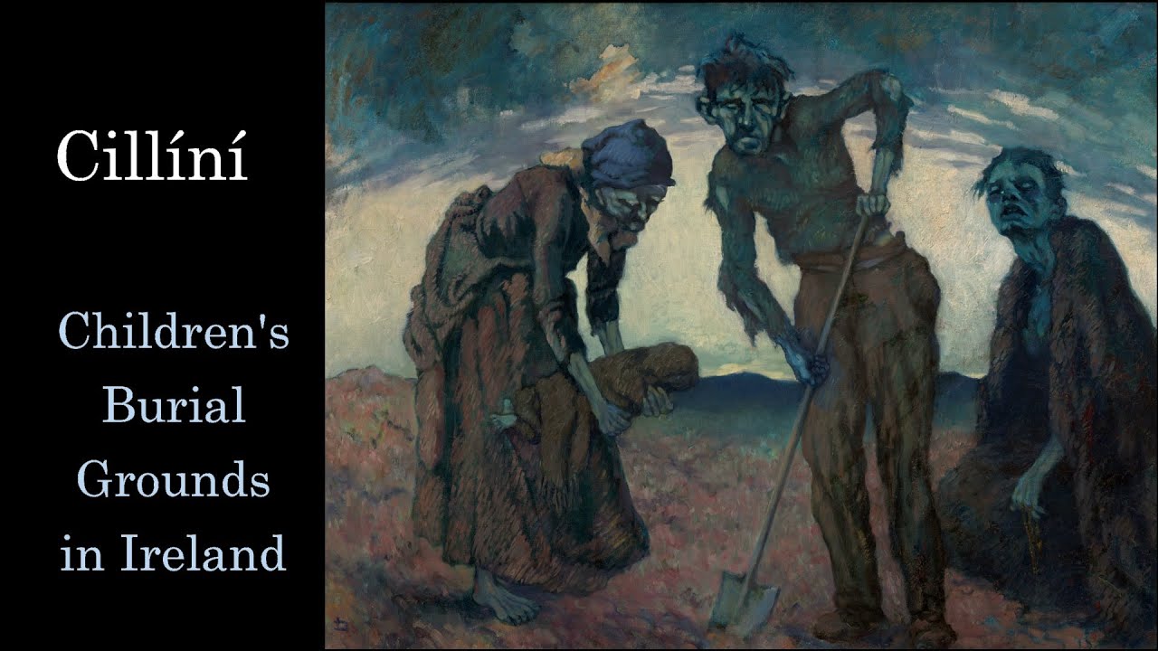 Ahanagorp Childrens Burial G.Children's burial ground · 1272 yd
 TobercloonaghSpring · 1.6 mi
 Scoil Naomh Mhuireschool · 1.6 mi
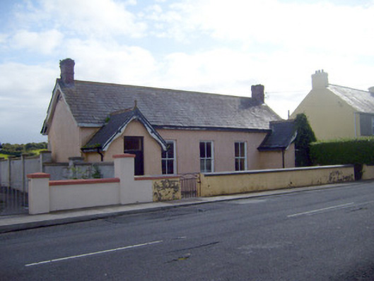 Ballyhahill Carnegie Librarylibrary/archive · 1.8 mi
 Prospect HillMountain / peak · 3.0 mi
 Shanid Castle (in ruins)Castle, Anglo-Norman masonry castle · 3.8 mi
 Shanid CastleCastle · 3.8 mi
 Monterey CypressMonterey Cypress · 5.2 mi
 Lawson's CypressLawson's Cypress · 5.4 mi
 Mountshannon PointHeadland · 5.4 mi
 Sugar HillMountain / peak · 6.8 mi