What is recorded here
Indicated is a forty-metre fairy fort on a SE-facing slope in County Mayo, Ireland. Its low earthen bank still stands though overgrown on the south and west, guarding a hidden underground passage now filled with soil. The name itself points at what the circle encloses, as if the land marked the boundary before people drew lines on paper.
In rough pasture, on SE-facing slope. Circular area (diam. 40m N-S), enclosed by low earthen bank (H 0.8m), overgrown S to W. Field fences at SW. Man-made underground passage (MA110-054002-) infilled.
The above description has been derived from D. Lavelle (compiler), An Archaeological Survey of Ballinrobe and District including Lough Mask and Lough Carra. Lough Mask and Lough Carra Tourist Development Association (1994), No. 139.
Date of upload: 30 October 2013
The monument record does not grant public access. Check the route and ask the landowner before entering private land.
- What survives
- Recorded monument
Places near here
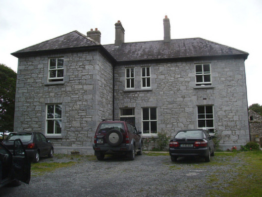 Liskilleen Housefarm house · 1239 yd
 St. Patricks WellHoly well · 1.1 mi
 Church in Rocksborough SouthChurch · 1.1 mi
 IndicatedEnclosure · 1.3 mi
 Cloonagashel CastleCastle · 1.7 mi
 Rat IslandIslet · 1.7 mi
 SycamoreSycamore · 1.8 mi
 Crane IslandIslet · 2.1 mi
 CastleCastle, unclassified · 2.1 mi
 European ashEuropean ash · 2.3 mi
 LabbadermotCave · 3.6 mi
 Kiltoom PointHeadland · 4.1 mi