What is recorded here
Half a kilometre from the last house, the grass stops arguing and forms a circle. A flat-topped bank, wide as two men stretched hand to hand, rises out of the hill like a breath held since before records. The slight ditch has nearly vanished, but the entrance still faces east, waiting for whoever is brave or foolish enough to enter.
Situated on top of a hill. Listed as 'Enclosure' in the SMR (1992) and the RMP (1996). A circular grass-covered area (diam. 28.8m N-S; 27.9m E-W) defined by a flat-topped earthen bank (Wth of base 4-5m generally to 7.6m at E; Wth of top 0.8-1m; int. H 0.7-0.8m; ext. H 1.3-1.5m) and slight traces of an outer fosse (Wth of base 2-2.5m; max. D 0.2m). There is an entrance (Wth 2.8m), which may have been modernised, at ESE.
Compiled by: Michael Moore
Date of upload: 31 May 2016
The monument record does not grant public access. Check the route and ask the landowner before entering private land.
- What survives
- Recorded monument
Places near here
 IndicatedEnclosure · 1385 yd
 LisroeFairy fort / earthen ringfort · 1678 yd
 Shallee Castle (in Ruins)Castle, tower house · 1.6 mi
 Bushypark Househouse · 1.6 mi
 Poul na gollorCave · 1.7 mi
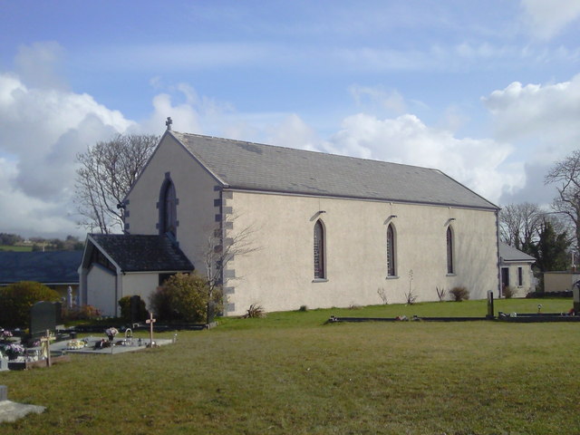 Saint Joseph's Catholic Churchchurch/chapel · 1.8 mi
 Inch Castle (in Ruins)Castle, tower house · 1.9 mi
 Alice and Gwendoline CaveMuseum · 3.2 mi
 Rockmount WoodWood · 3.5 mi
 Post Office FieldNature reserve · 3.7 mi
 Killone AbbeyHeritage attraction · 3.8 mi
 Clare MuseumMuseum · 3.9 mi