What is recorded here
Indicated is a shallow oval scar in good Mayo pasture, perhaps a forgotten ringfort where ordinary people once drew a line around their own lives. The southwest edge has worn away, surrendering part of the boundary to grass and rain. What remains is small enough to walk beside yet large enough to suggest that this ground was held, shaped and remembered before it became pasture again.
In undulating good pasture. Oval-shaped raised area (41m N-S; 34m E-W) defined by scarp (H 0.9m). Large area of disturbance on SW. Probably the remains of a ringfort.
The above description has been derived from D. Lavelle (compiler), An Archaeological Survey of Ballinrobe and District including Lough Mask and Lough Carra. Lough Mask and Lough Carra Tourist Development Association (1994), No. 343.
Date of upload: 5 February 2013
The monument record does not grant public access. Check the route and ask the landowner before entering private land.
- What survives
- Recorded monument
Places near here
 IndicatedFairy fort / earthen ringfort · 965 yd
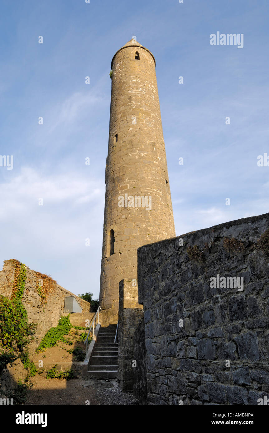 KnockaleenFairy fort / earthen ringfort · 1164 yd
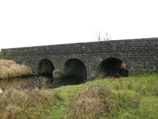 Annies Bridgebridge · 1196 yd
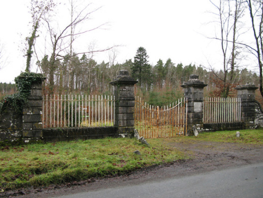 Moore Hallgates/railings/walls · 1375 yd
 Creevagh IslandIslet · 1.0 mi
 Connors IslandIslet · 1.1 mi
 Moore Hall Forest TrailWalking route · 1.1 mi
 Moore Hall ForestForest · 1.2 mi
 Kiltoom PointHeadland · 1.3 mi
 Caislen-na-CailligheCastle, unclassified · 1.3 mi
 Bawn in BellanaloobBawn · 1.8 mi
 Castlepark WoodWood · 2.3 mi