What is recorded here
Cave is a forgotten underground passage hidden beneath a Mayo slope, recorded in 1835 but erased from later maps when the railway cut through the land. The train still rattles past the ghost of that chamber, shaking dust from roots and forgetting the shape of what it buried.
Recorded on the first edition (1835) of the OS 6-inch as a ‘Cave’ (a possible Man-made underground passage) in the S sector of a probable ringfort (MA070-060001-). However, neither monument is recorded on the later, OS 25-inch map (1893) which shows the ‘Midland Great Western Railway (Mayo Branch)’ running N-S less than 10m to the E of the site of the ringfort. The location is now partially rough ground on a gentle E-facing slope just W of the rail line and E of an extensively quarried out area. While no visible surface traces survive, subsurface remains may still exist.
Date of visit: 17-04-2025
Compiled by: Gearóid Conroy
The monument record does not grant public access. Check the route and ask the landowner before entering private land.
- What survives
- Recorded monument
Places near here
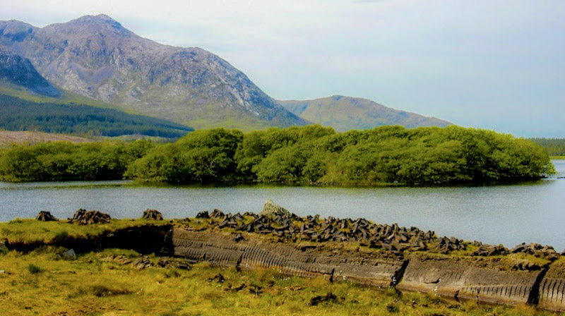 IndicatedEnclosure · 549 yd
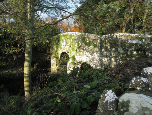 bridgebridge · 1249 yd
 Michael DavittMemorial · 1265 yd
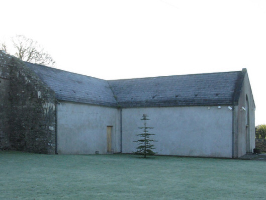 church/chapelchurch/chapel · 1307 yd
 Enclosure in Toormore EastEnclosure · 1.4 mi
 Castle (in Ruins)Castle, motte · 1.4 mi
 Corraun CastleCastle · 1.5 mi
 Oak WoodWood · 3.2 mi
 National Museum of Ireland, Country LifeMuseum · 3.4 mi
 Sunken GardenWood · 3.5 mi
 Admiral William BrownMemorial · 4.6 mi
 Foxford Woollen MillsHeritage attraction · 4.6 mi