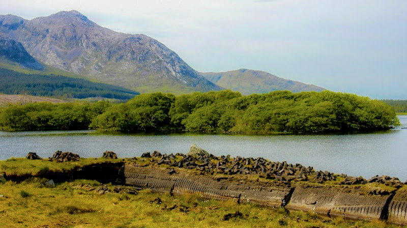
What is recorded here
In pasture on the W-facing slope of a broad ridge, overlooking lower boggy ground to the W. A large densely overgrown and partially inaccessible, roughly circular area (int. diam. c. 75m) is defined by a broad inner earthen bank (int. H 0.1m; Wth 8m at W-10m at E; ext. H 3m above base of fosse). A gap (Wth 4m) at E may be an original entrance. The remains of a fosse (av. Wth 2m) survive WNW-N-E with a second, outer enclosing bank (int. H over base of fosse 1.3-3m; Wth 6m at N-8m at E; ext. H 1.3m) visible running outside the fosse. The area of the fosse and outer bank has been dug away at SSE. The internal ground level rises (H c. 1.5m) from the perimeter towards the centre of the monument and traces of later field walls subdividing the interior survive, as depicted on the historic OSi mapping.
Date of visit: 9-5-2025
Compiled by: Gearóid Conroy
The monument record does not grant public access. Check the route and ask the landowner before entering private land.
- What survives
- Recorded monument
Places near here
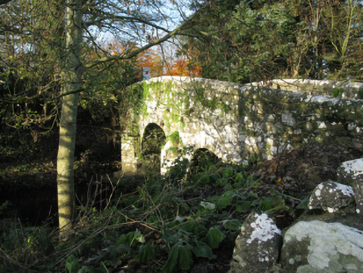 bridgebridge · 1085 yd
 Michael DavittMemorial · 1123 yd
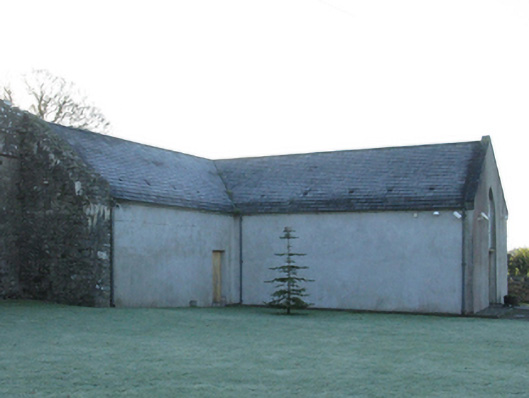 church/chapelchurch/chapel · 1140 yd
 Enclosure in Toormore EastEnclosure · 1.4 mi
 Castle (in Ruins)Castle, motte · 1.4 mi
 Corraun CastleCastle · 1.4 mi
 LismoreFairy fort / earthen ringfort · 1.8 mi
 Oak WoodWood · 3.2 mi
 National Museum of Ireland, Country LifeMuseum · 3.4 mi
 Sunken GardenWood · 3.5 mi
 Admiral William BrownMemorial · 4.7 mi
 Foxford Woollen MillsHeritage attraction · 4.8 mi
Other information
Photo: Credit not shown in the picture search · Rights wording not checked; contact us if this picture should be removed