What is recorded here
On a gentle NE-facing slope of a drumlin. Circular overgrown area (diam. c. 30m) defined by a low earthen bank (at S: Wth 4.7m; int. H 0.6m; ext. H 1.1m; at N: Wth 8.4m; int. H 1.2m; ext. H 1.9m) and outer fosse (Wth of base 2.4-2.6m; D 0.6-1.2m) SSE-W-NE, and by a scarp (H c. 2m) elsewhere. An undisturbed portion of the bank (Wth 2m; int. H 2m) survives at SSE. There is a stone-lined entrance (Wth 1.5m) at NNW, but an outer bank (Wth 2m; ext. H 0.75m) has been removed since 1984 (SMR file). Rath (RO018-009----) is c. 170m to the ENE.
Compiled by: Michael Moore
Date of upload: 24 August 2010
This remains an important historical record, but the official description says the monument is no longer visible or has been destroyed. The monument record does not grant public access. Check the route and ask the landowner before entering private land.
- What survives
- No visible remains or recorded as destroyed
Places near here
 Tober PatrickChurch · 710 yd
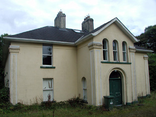 Tully Lodgehouse · 731 yd
 Tobermacleggan WellHoly well · 732 yd
 InishmoylinIslet · 1.1 mi
 Embanked enclosureFairy fort / earthen ringfort · 1.3 mi
 Site of Dangan CastleCastle, unclassified · 1.3 mi
 Coarse IslandForest · 1.4 mi
 Dockery's IslandIslet · 1.4 mi
 Tom Dunphy MemorialMemorial · 2.6 mi
 Wildlife AreaNature reserve · 2.7 mi
 Patrick Gill Memorial Plaque (IRA)Monument · 3.0 mi
 Cavan & Leitrim RailwayMuseum · 4.0 mi