What is recorded here
In pasture, situated at the SSW end of a narrow, flat-bottomed valley. A pool, now drained, is shown on the OS 6-inch (1838) map immediately to E of the location of the burnt mound. Low surface remnants of a burnt mound (c. 10-12m N-S; c. 6m E-W) without clearly defined limits at SW-NW but truncated at NE-S by the curve of a modern drain. A layer (D 0.7m) of burnt stone and charcoal is visible in the drain section.
Compiled by: Jane O'Shaughnessy
Date of upload: 12 May 2011
Burnt mound (fulacht fiadh), likely dating to the Bronze Age. These features are significant as they provide insight into prehistoric cooking, ritual, or industrial activities.
The monument record does not grant public access. Check the route and ask the landowner before entering private land.
- What survives
- Recorded monument
Places near here
 Enclosure in CloonakeemogeEnclosure · 217 yd
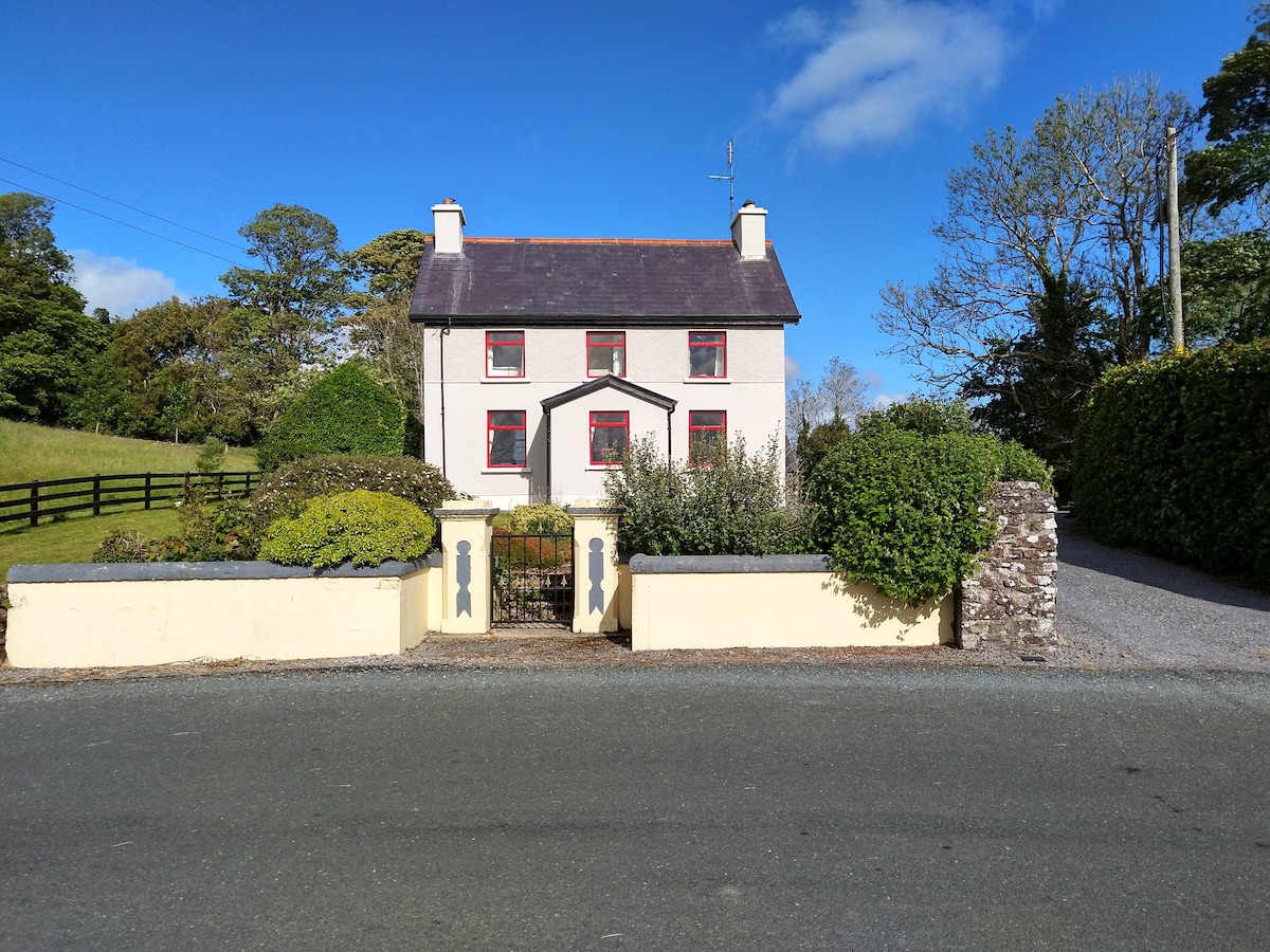 Enclosure in LisnarawerEnclosure · 496 yd
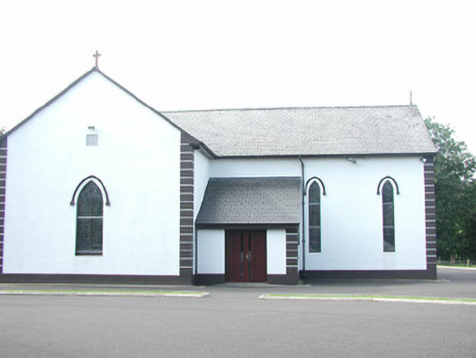 Catholic Church of Saint Peter and Saint Paulchurch/chapel · 961 yd
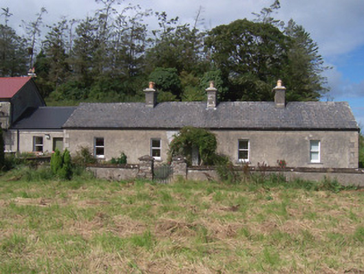 The Swallow Loftchurch/chapel · 1026 yd
 Giant's GraveArchaeological place · 1157 yd
 Bawn in Longford DemesneBawn · 1689 yd
 European ashEuropean ash · 1719 yd
 Pigeonpark WoodForest · 1.2 mi
 Bawn in Tanrego WestBawn · 1.5 mi
 Lahanacappul IslandIslet · 1.5 mi
 Ballinlig PointHeadland · 1.7 mi
 Portavaud PointHeadland · 1.9 mi