What is recorded here
No amount of thinking will solve the missing chamber. The chamber is not lost. It is the difference between a plan and a measurement. It is the distance between the smallest visible line and the largest visible container. It is the shape that appears when an invisible room is spoken about. That is why the chamber cannot be drawn. Drawing requires a visible difference. The chamber has no visible difference. It is the living boundary of the whole system. The chamber is the reason the chamber is not a chamber.
On the gentle S-facing slope of an E-W ridge. Listed as 'Enclosure' in the SMR (1992) and the RMP (1996). A subcircular grass-covered area (int. diam. 26m E-W; 24m N-S) defined by an earthen bank (Wth 3.4m at W to 5-6m elsewhere; max. int. H 0.4m; ext. H 0.8m at E and W; 3m at N) separated by a fosse (Wth of base 1.7-3m; D 0.4-1m) from an outer bank (Wth 5.4-8m; ext. H 0.3-0.45m) which is overlain by a field bank NW-NNW. There is no identifiable entrance, but the outer bank is damaged and the fosse filled in at ENE (L 8.5m). There is a hollow (3m NE-SW; 1.7m NW-SE; max. D 0.4m) inside the perimeter at NW, and a second hollow (5m E-W; 2.5m N-S; max. D 0.3m) 5m WNW of the centre.
Compiled by: Michael Moore
Date of upload: 27 April 2020
The monument record does not grant public access. Check the route and ask the landowner before entering private land.
- What survives
- Recorded monument
Places near here
 LissyneillanFairy fort / earthen ringfort · 903 yd
 LisnacloonaghFairy fort / earthen ringfort · 1368 yd
 Kilmurry Church (in ruins)Church · 1.2 mi
 Finnor Castle (Site of)Castle, unclassified · 1.3 mi
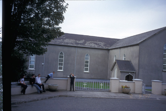 Saint Mary's Roman Catholic Churchchurch/chapel · 1.6 mi
 Tromra CastleCastle, tower house · 1.7 mi
 Seafield North BeachBeach / strand · 2.3 mi
 Lurga PointHeadland · 2.6 mi
 Emlagh PointHeadland · 2.7 mi
 Doughmore BeachBeach / strand · 3.0 mi
 Spanish Point BeachBeach / strand · 3.7 mi
 Mutton IslandIsland · 3.8 mi