What is recorded here
Situated in lowlying, marshy ground. Raised rectangular area (34m NE-SW; 28.5m NW-SE) whose NE, SE and SW sides are defined by an earthen bank (Wth 2m at NE, 3m at SW; int. H 0.3-0.8m; ext. H 1.2-1.7m) with a wide external fosse (Wth 4m at SE, 5.8m at SW) and a low counterscarp bank (Wth. 3m; ext. H 0.4m). The NW side is defined by a ditch, probably adapted from the original fosse, which forms part of the boundary between Cloonaderavally and Lackan townlands. Beyond this is a modern field boundary bank. There is a stone-lined entrance gap (Wth. 3.5m) in the NE side. In the interior, remnants of a low bank (Wth 1.6m; H 0.3m) extends, from close to the enclosing bank at NE, for 11m to SW and then turns at right angles for a few meters to SE.
Compiled by: Patrick F. O'Donovan
Date of upload: 19 January 2011
The monument record does not grant public access. Check the route and ask the landowner before entering private land.
- What survives
- Recorded monument
Places near here
 Patricks WellHoly well · 351 yd
 Enclosure in LackanEnclosure · 430 yd
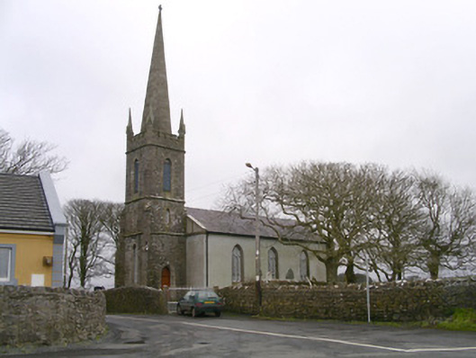 Kilglass Churchchurch/chapel · 625 yd
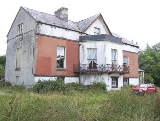 Kilglass Househouse · 879 yd
 Castle FirbisCastle, tower house · 1208 yd
 Wild Atlantic Way: Inishcrone PierVisitor information · 1.4 mi
 Grave of the Black PigArchaeological place · 2.4 mi
 Enniscrone BeachBeach / strand · 2.4 mi
 The Black PigMemorial · 2.5 mi
 Rathlee HeadHeadland · 3.3 mi
 Horse IslandIslet · 3.9 mi
 Bartragh IslandIsland · 4.2 mi