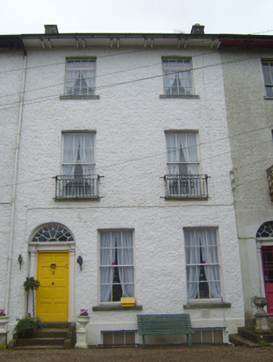
What is recorded here
Terraced two-bay three-storey house over basement, built in 1812. Pitched slate roof having overhanging eaves with timber brackets, rendered chimneystack and cast-iron rainwater goods. Roughcast rendered walls. Square-headed openings to second floor with replacement timber casement windows. Limestone sills throughout. Square-headed openings to first and ground floors having six-over-six pane timber sliding sash windows. Square-headed openings to basement with fixed windows. Wrought-iron balconies to first floor. Round-headed opening having cobweb fanlight over timber panelled door with flanking render Doric style engaged columns. Limestone steps to entrance.
According to Samuel Lewis's 'Topographical Dictionary', the Tontine terrace was built in 1812 by the late W. Gabbett, Esq., from a fund raised by subscription. An elegantly proportioned and substantial Georgian style house, which retains its original form and character, together with important salient features and materials. Set back slightly from the line of the road, this house which is part of a terrace, forms an attractive, sophisticated feature within the Castleconnell streetscape. The early surviving wrought-iron balcony and limestone dressings contribute to the historic character of the piece. Tontines were an investment plan in which participants buy shares in a common fund and receive an annuity that increases every time a participant dies, with the entire fund going to the final survivor or to those who survive after a specified time.
This does not grant access. Most recorded buildings are privately owned; view them only from public ground unless the owner allows entry.
Places near here
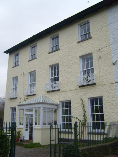 Glebe Househouse · 16 yd
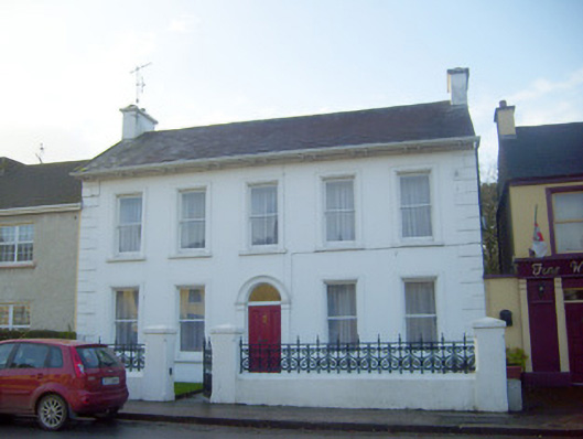 Island View Househouse · 156 yd
 Cross in Cloon AND CommonsCross · 204 yd
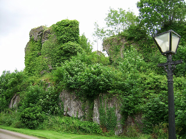 Castle Connell (in ruins)Castle, Anglo-Norman masonry castle · 424 yd
 Castle ConnellRuins · 434 yd
 Burial ground in Stradbally NorthBurial ground · 610 yd
 Old PumpHeritage attraction · 2.6 mi
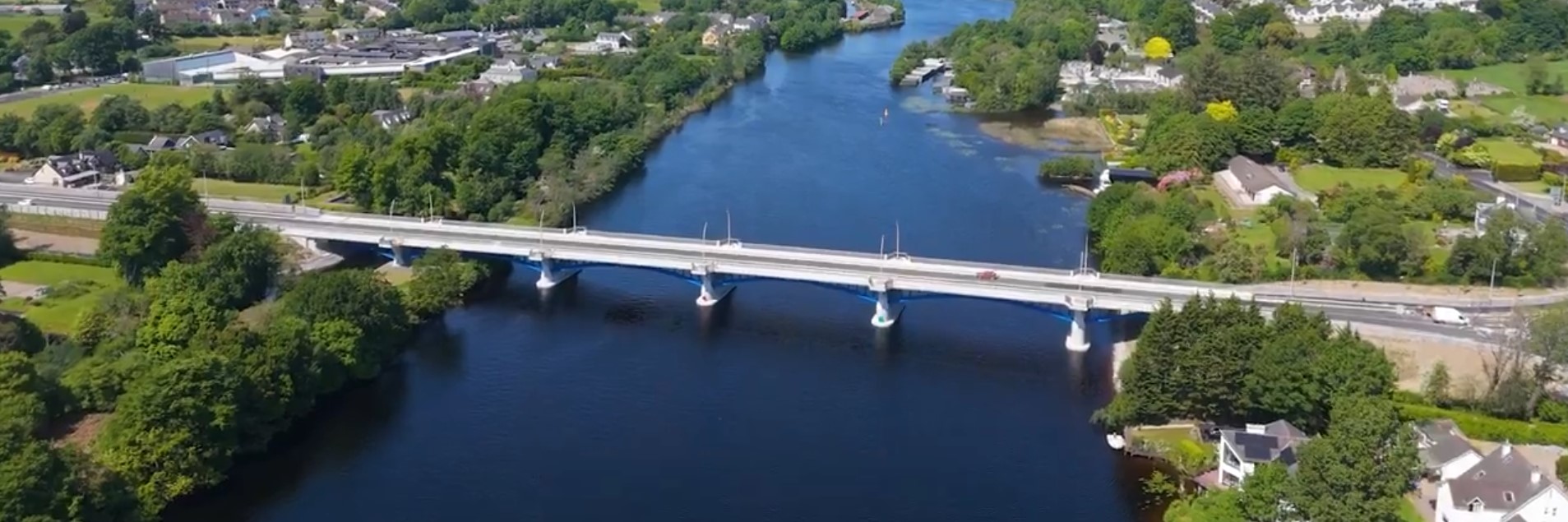 parking na O'Briena bridgeHeritage attraction · 2.6 mi
 Campus MapVisitor information · 4.1 mi
 Visitor CentreVisitor information · 4.2 mi
 The Pollagh TrailNature reserve · 4.4 mi
 Kilroughil Graveyard (Site of)Archaeological place · 4.6 mi
Other information
Photo: National Inventory of Architectural Heritage · Website use allowed for educational or private purposes with source credit