
What is recorded here
Situated on a natural rise of ground on the landscaped demesne lands of Clonyn House located 725m to the NNW. This earthwork known locally as a 'fort' is depicted as a grove of trees standing E of the main avenue leading up to Clonyn House on the 1838 ed. OS 6-inch map. An enclosure (WM013-033----) lies 45m to the SW and a second enclosure (WM013-114----) is 110m to the W. Possible ringfort that was re-used as a tree-ring as part of the landscaping of Clonyn House demesne.
Remains consist of a circular-shaped area (approx. diam. 29m NW-SE) enclosed by a poorly preserved earthen bank (Wth 3.7m; int. H 0.2m; ext. H 0.7m) and narrow external fosse (Wth 1.9m; ext. D 0.2m). There is a possible entrance gap (Wth 4.5m) at WSW. Deep cultivation ridges aligned E-W are visible running across the interior of the monument. It is not clear if all three earthworks (WM013-033-/114----) are the remains of ringforts that were converted into tree-rings as part of the landscaping of Clonyn House demesne or whether they were built as tree-rings in the post-1700 period.
Compiled by: Caimin O'Brien
Date of upload: 2 August 2017
The monument record does not grant public access. Check the route and ask the landowner before entering private land.
- What survives
- Recorded monument
Places near here
 Enclosure in ClonynEnclosure · 111 yd
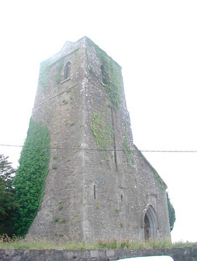 Saint Mary's Church (Castletowndelvin)church/chapel · 714 yd
 Bank of Irelandbank/financial institution · 775 yd
 CastleCastle, tower house · 781 yd
 Man-made underground passage in CastletowndelvinMan-made underground passage · 976 yd
 Martinstown Castle in RuinsCastle, tower house · 1.4 mi
 GinkgoGinkgo · 3.5 mi
 European YewEuropean Yew · 3.7 mi
 The Sloe HillMountain / peak · 5.3 mi
 Slieve GullionMountain / peak · 6.9 mi
 Zip WireHeritage attraction · 8.9 mi
 LoughcrewMegalithic tomb cemetery · 9.4 mi
Other information
Photo: Credit not shown in the picture search · Rights wording not checked; contact us if this picture should be removed