What is recorded here
Modern trash chokes the eastern bank, but the clay ridge still stands thirty-four metres wide on the Offaly horizon. People called it a fairy fort because humans often label what they refuse to understand. The fairies probably built it first, excluded the locals, and waited for patience to replace the cameras.
Situated on top of a N-S ridge in undulating countryside. Raised circular area (diam 34m E-W) enclosed by an earthen bank (Wth 1.5m; ext. H 3.5m max. at E.; int. H 0.5m) with no evidence of an external fosse or entrance feature. Modern dump material along bank from E to S.
The above description is derived from the published 'Archaeological Inventory of County Offaly' (Dublin: Stationery Office, 1997). In certain instances the entries have been revised and updated in the light of recent research.
Date of upload: 23 May 2011
The monument record does not grant public access. Check the route and ask the landowner before entering private land.
- What survives
- Recorded monument
Places near here
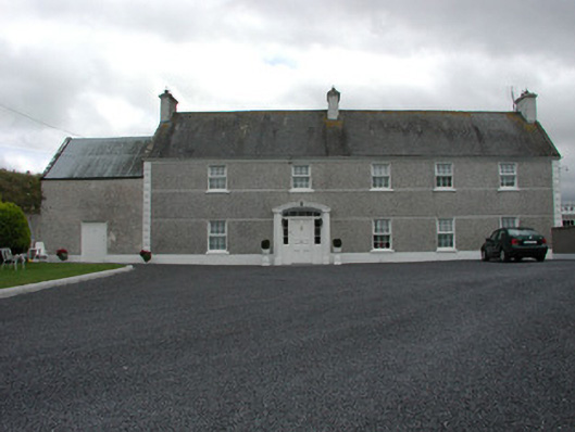 Myrtlegrovefarm house · 766 yd
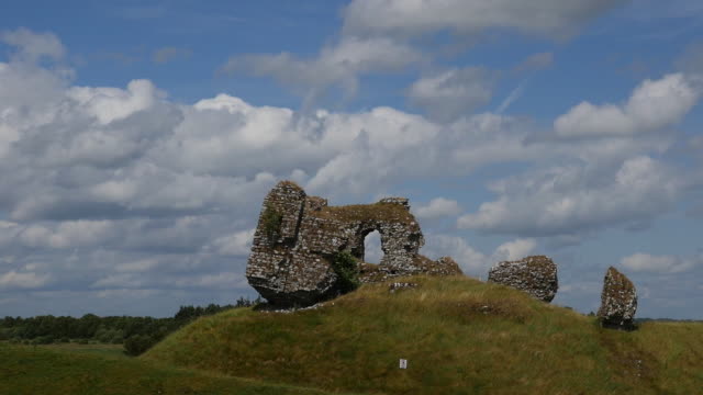 CastleCastle, unclassified · 949 yd
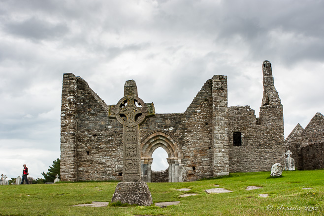 IndicatedFairy fort / earthen ringfort · 1310 yd
 Enclosure in LoughanEnclosure · 1498 yd
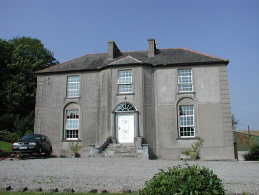 Foxburrow Housefarm house · 1.0 mi
 MoatCastle, motte · 1.9 mi
 BenduffMountain / peak · 3.7 mi
 Longford WoodForest · 4.2 mi
 Cangort WoodWood · 4.3 mi
 Thomas MacDonagh Heritage CentreMuseum · 4.7 mi
 MacDonagh HouseMemorial · 4.7 mi
 Eagle HillMountain / peak · 5.9 mi