What is recorded here
Fairy forts are human places misnamed, often by people who stopped asking questions. In Clonwhelan the ring still stands about fifty metres across, its earth and stone bank broken in one wide gap where an entrance may have been. Cattle walk around it now, treating centuries of human choice as ordinary ground.
In low-lying pasture. A raised subcircular area (c. 50m N-S; c. 48m E-W) enclosed by a substantial, although partially denuded, bank of earth and stone (Wth 2.5-5m; H 0.3-0.4m) with an external fosse (Wth 2m; D 0.6-1m), which may have been recut. The bank and fosse have been incorporated into a field boundary from SW-N-ESE. A wide break (Wth 5m) in the bank at ESE may mark the original entrance.
Compiled by: Patrick F. O'Donovan
Date of upload: 26 August 2011
The monument record does not grant public access. Check the route and ask the landowner before entering private land.
- What survives
- Recorded monument
Places near here
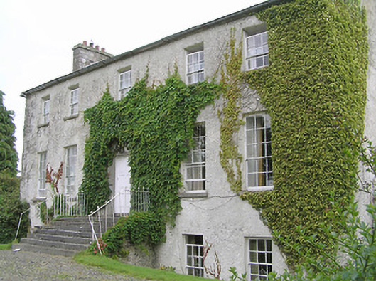 Clonwhelan Househouse · 347 yd
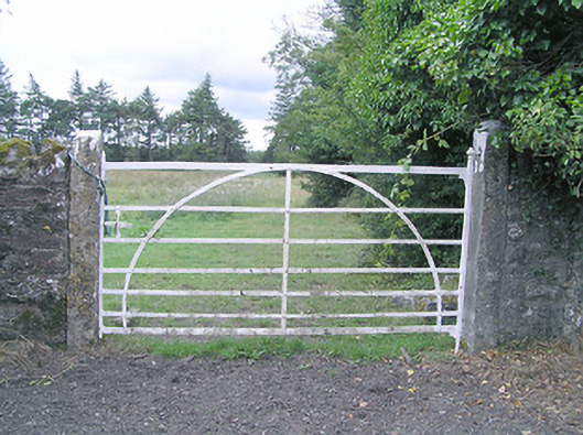 gates/railings/wallsgates/railings/walls · 622 yd
 IndicatedFairy fort / earthen ringfort · 638 yd
 BarrowBarrow, ring-barrow · 1211 yd
 Silver FirSilver Fir · 1.8 mi
 MoatawardCastle, motte and bailey · 2.0 mi
 MoatCastle, motte and bailey · 2.1 mi
 Edgeworthstown BypassMemorial · 2.8 mi
 Sweet ChestnutSweet Chestnut · 3.0 mi
 Granard MotteMotte-and-bailey castle remains · 6.5 mi
 1798 Monumentmonument · 6.6 mi
 CartronfreeMountain / peak · 9.5 mi