What is recorded here
Thirty metres across and no taller than a man’s knee, the enclosure still stands in low pasture north of a ringfort, its shallow scarp marking a boundary drawn before written memory. Farming has flattened the northern edge, yet the southern bank and inner ditch remain visible, suggesting a deliberate circle rather than a random heap of soil. People may have gathered there to argue, worship, or simply watch the sky turn above the flat land. The earth keeps its shape long after the names and purposes have slipped away.
Enclosure (int. diam. c. 29m) defined by a scarp (0.5m - 1m H). Badly degraded from N to NE and with slight evidence of a fosse E to S. Situated in low lying area.
In pasture with good views in all directions with nearby ringfort (OF011-021----) to the N. Circular raised platform (diam 34.5m; H 0.5m) defined by a scarp and enclosed by an inner fosse (Wth 2.5m; D 1m) with external bank visible at S only. The site is damaged at N where its external bank and inner fosse are totally levelled probably the result of agricultural activity.
The above description is derived from the published 'Archaeological Inventory of County Offaly' (Dublin: Stationery Office, 1997). In certain instances the entries have been revised and updated in the light of recent research.
Date of upload: 23 May 2011
The monument record does not grant public access. Check the route and ask the landowner before entering private land.
- What survives
- Recorded monument
Places near here
 StructureStructure, peatland · 1210 yd
 Enclosure in ClonmeenEnclosure · 1521 yd
 Rhode Bridgebridge · 1.2 mi
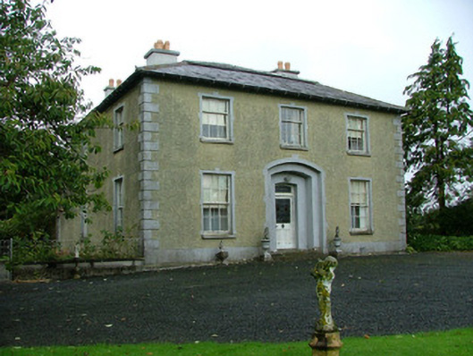 Ballinla Housefarm house · 1.3 mi
 Ballybrittan CastleCastle, tower house · 1.5 mi
 Victoria PlantationWood · 1.7 mi
 Holy PlantationForest · 1.8 mi
 Clonin EarthworksMountain / peak · 2.3 mi
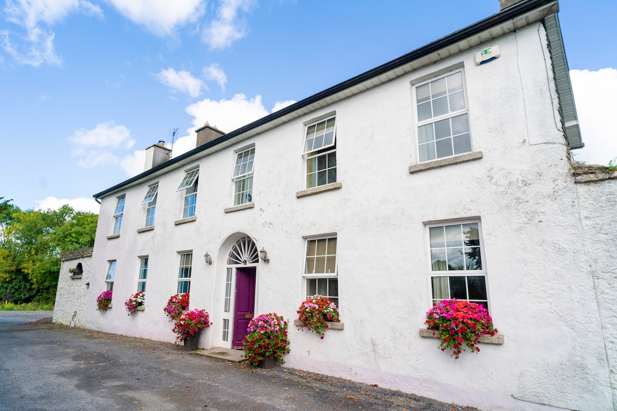 Ballyburly Ho.Castle, unclassified · 2.4 mi
 Mountlucas Wind Farm Visitors CentreVisitor information · 4.2 mi
 Moat HillMountain / peak · 4.2 mi
 Croghan Hill WalkVisitor information · 4.6 mi