
What is recorded here
Clonin Hill holds a small white rock marked with a cross and two horseshoes, set inside the broken circle of an ancient burial mound. Herd and human traffic crossed this ridge for centuries, perhaps stopping to touch the stone or drop a coin before riding onward. The mound watches Croghan Hill across open pasture, suggesting the place has long served as a boundary marker between the living and the dead.
National Monument No. 532. In pasture on top of Clonin Hill with extensive views of the surrounding countryside. Impressive view of burial mound (OF010-004001-) on top of Croghan Hill 4.5km to W. Natural rock outcrop (H 0.6m x 1.4m x 1.6m) known locally as a mass-rock (SMR File) in SW quadrant of fosse of ring-barrow (OF011-001----). The weathered NW facing surface of the rock contains features of natural weathering except for two horseshoe-shaped symbols and a cross with expanded terminals (SMR File).
Compiled by: Caimin O'Brien
Date of upload: 25 January 2016
The monument record does not grant public access. Check the route and ask the landowner before entering private land.
- What survives
- Recorded monument
Places near here
 Clonin EarthworksMountain / peak · 27 yd
 BarrowBarrow, ring-barrow · 99 yd
 Killure Lodgehouse · 629 yd
 CrossCross, Wayside cross (present location) · 707 yd
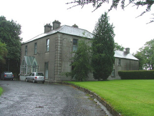 presbytery/parochial/curate's housepresbytery/parochial/curate's house · 722 yd
 Holy PlantationForest · 1316 yd
 Victoria PlantationWood · 1698 yd
 OutlinedBawn · 1.1 mi
 Site of Lady Mary Warrens CastleCastle, unclassified · 1.4 mi
 Moat HillMountain / peak · 2.6 mi
 Croghan HillMountain / peak · 2.8 mi
 Croghan Hill WalkVisitor information · 2.9 mi
Other information
Photo: Credit not shown in the picture search · Rights wording not checked; contact us if this picture should be removed