What is recorded here
Situated on a gentle NW-facing slope in the flood-plain of the NW-SE Tolka River which is c. 300m to the N. Archaeological monitoring (08E0605) by C. McCarthy of topsoil stripping over an extensive area (max. dims c. 450m N-S; c. 350m E-W) identified five areas with archaeological deposits and features (excavations.ie 2008:943). One was post-medieval, and three of the others were resolved under a different licence (08E0840) by the same archaeologist.
This is Area 5, which is preserved in situ under the re-constituted ground (dims c. 40m N-S; c. 35m E-W) where extensive archaeological deposits were uncovered. Numerous features such as pits, linear features, cereal-drying kilns and furrows were identified overlying deeper deposits. A large spread of charcoal-rich soil is probably related to a kiln and there were thick spreads of silty clay containing charcoal, animal bones and pottery. Three possible kilns were identified as figure-of-eight spreads (dims 2.5m x 0.7m to 5.5m x 1.5-2.9m) with high volumes of charred material including nuts and seeds. Some post-medieval furrows and drainage ditches run NNE-SSW across the area, but three large ditches (Wth 2.5m; D 0.95m plus; Wth 4.5m; D 0.75m plus; Wth 3.9m; D 1m plus) with plentiful large stones were also sampled. The complex is probably medieval in date, and a smaller area of drainage ditches further to the S was also encountered. (McCarthy and Mitchell 2008, 16-19)
Compiled by: Michael Moore
Date of upload: 9 November 2021
The monument record does not grant public access. Check the route and ask the landowner before entering private land.
- What survives
- Recorded monument
Places near here
 Church in Clonee (dunboyne By.)Church · 369 yd
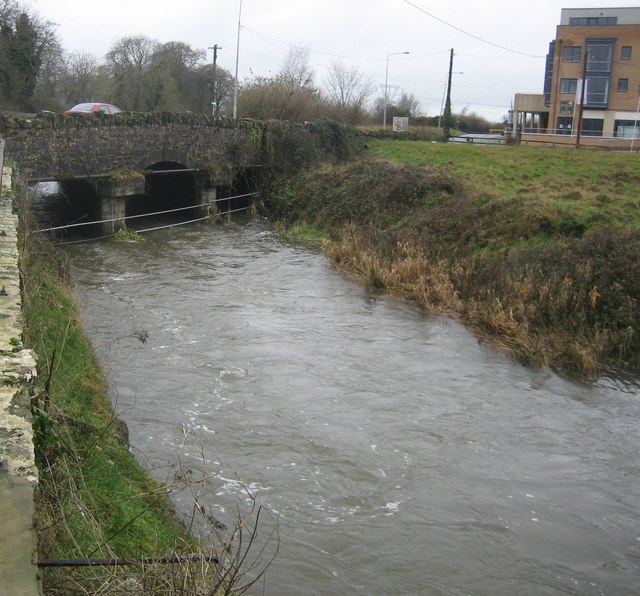 Clonee Bridgebridge · 404 yd
 Enclosure in Clonee (dunboyne By.)Enclosure · 723 yd
 Enclosure in LoughsallaghEnclosure · 1376 yd
 CastleCastle, ringwork · 1.4 mi
 Church, GraveyardChurch · 1.9 mi
 TyrrelstownWood · 2.2 mi
 Graveyard in BuzzardstownGraveyard · 2.3 mi
 Luttrellstown CastleCastle · 2.5 mi
 GinkgoGinkgo · 2.8 mi
 Griffeen Valley WalkWalking route · 4.4 mi
 Saint Wolstan'sHeritage attraction · 5.2 mi