What is recorded here
Five centuries of rain and river silt buried the Clonee fulacht fia, hiding a rectangular trough, corner post-holes and a long gully packed with burnt stone. The site sat on a south-facing slope near the Tolka, waiting for topsoil stripping to reveal pits where heat, water and human hands once met. What is certain is the shape of the work; what is lost is the sound of it running.
Located on the S-facing slope of a slight rise in the flood-plain of the NW-SE Tolka River which is c. 220m to the N. Archaeological monitoring (08E0605) by C. McCarthy of topsoil stripping over an extensive area (max. dims c. 450m N-S; c. 350m E-W) identified five areas with archaeological deposits and features (McCarthy and Mitchell 2008; excavations.ie 2008:943). One was post-medieval, another (ME051-043----) is to be preserved in situ, and the other three were fully resolved (08E0840) by the same archaeologist (excavations.ie 2008:944).
Around the waterhole (ME051-040----) were some pits filled with soils that have traces of broken and burnt stone, and a rectangular, flat-bottomed pit (dims 1.95m NW-SE; 1.9m NE-SW; max. D 0.26m) at the SE edge of the waterhole has a post-hole at each corner. It undoubtedly served as a trough as it was filled with broken and burnt stone. A gully (L 13m plus; Wth; max. D 0.25m), originating in a pit (dims 0.93m x 0.65m; D 0.25m) c. 3m N of the trough, extended E and both features were filled with burnt mound material. However, only two small spreads (dims 0.5; 1.15m) of the burnt mound itself were in evidence c. 10m NE of the trough and 2-3m NE of the hearth. (McCarthy et al. 2009, 39-45)
Compiled by: Michael Moore
Date of upload: 9 November 2021
The monument record does not grant public access. Check the route and ask the landowner before entering private land.
- What survives
- Recorded monument
Places near here
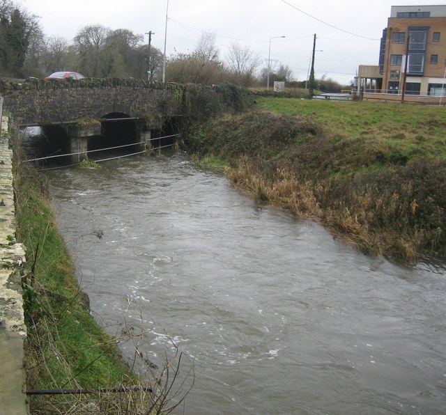 Clonee Bridgebridge · 331 yd
 Church in Clonee (dunboyne By.)Church · 431 yd
 Enclosure in LoughsallaghEnclosure · 1002 yd
 Enclosure in Clonee (dunboyne By.)Enclosure · 1100 yd
 CastleCastle, ringwork · 1.3 mi
 Church, GraveyardChurch · 2.1 mi
 TyrrelstownWood · 2.3 mi
 Graveyard in BuzzardstownGraveyard · 2.5 mi
 Luttrellstown CastleCastle · 2.7 mi
 Blanchardstown Centre information deskVisitor information · 2.7 mi
 GinkgoGinkgo · 3.0 mi
 Griffeen Valley WalkWalking route · 4.6 mi