What is recorded here
Described in 1978 as a ringfort situated on a small steep sided ridge, running roughly N-S, with extensive views in all directions. Ringfort (WM032-108----) located 250m to the SW. The monument was covered with vegetation making detailed examination very difficult. The monument consists of an oval-shaped area defined by a poorly preserved earth and stone bank that is best preserved at NW and from NE-E-ESE with a flat berm-like fosse and well preserved external bank. The substantial earth and stone external bank has been levelled from N-E-S. The fosse is well preserved from S-W-N and it survives is a berm like feature from ENE-E-S. There is no evidence of an entrance feature.
Compiled by: Caimin O’Brien
Date of upload: 29 March 2013
The monument record does not grant public access. Check the route and ask the landowner before entering private land.
- What survives
- Recorded monument
Places near here
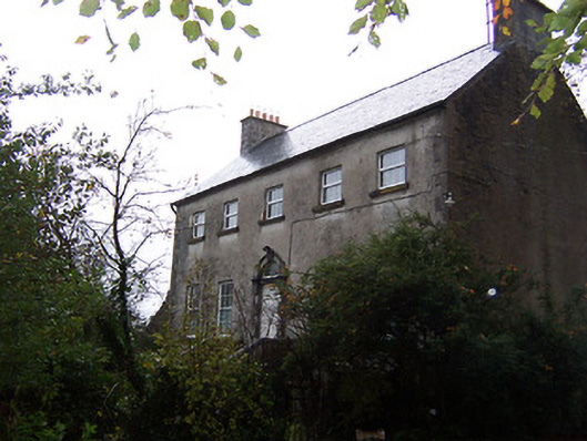 Guilford Housecountry house · 1353 yd
 Man-made underground passage in Guilford or DavidstownMan-made underground passage · 1363 yd
 The Glebedemesne walls/gates/railings · 1439 yd
 Dotted outlineEnclosure · 1.0 mi
 Tyrrellspass CastleCastle, tower house · 1.4 mi
 Lows Castle (in Ruins)Castle, unclassified · 1.6 mi
 Ardan WoodWood · 3.1 mi
 Bonfire HillMountain / peak · 3.8 mi
 High WoodWood · 6.7 mi
 St. Columba's WellSpring · 6.8 mi
 Grand Canal WayWalking route · 8.7 mi
 Trumpet HillMountain / peak · 10 mi