What is recorded here
Dotted outline is a circular ecclesiastical enclosure in County Limerick, Ireland, where St. Maedoc of Ferns founded a monastery before dying in 625 AD. A public road cuts across the pasture, Cloncagh graveyard sits beside it, and three holy wells dot the southern edge. The earthen bank still marks the boundary, though grass and traffic have softened its shape. What remains is a place where prayer, death and daily travel still share the same ground.
In elevated pasture, on S-facing slope. Circular area (diam. 210m) enclosed by earthen bank (int. H 0.55m; ext. H 1.55m) NW->SE and defined by scarped edge (ext. H 0.60m) SE->NW; external fosse (D 0.55m) SE->ENE. Public road crosses enclosure on NW-ENE axis (see plan Westropp 1913, 251; CUCAP, AVS093); Cloncagh graveyard (LI037-025002-) in centre of enclosure on S side of road; rest of interior in pasture. Farm trackway skirts external base of earthen bank to E and runs E to W across interior c. 30m to S of graveyard. Monastery here was founded by St. Maedoc of Ferns who died in 625 AD (Gwynn and Hadcock 1970, 376). St. Patrick's Well (LI037-025006-) located c. 30m to SE, and sites of two holy wells to S of enclosure: Lady's Well (LI037-025004-) c. 10m to SSW; and Sunday's Well (LI037-025005-) c. 50m to SSW.
Compiled by: Denis Power
Date of upload: 26 August 2011
The monument record does not grant public access. Check the route and ask the landowner before entering private land.
- What survives
- Recorded monument
Places near here
 Grave YardGraveyard · 19 yd
 Cloncagh Church (in ruins)Church · 21 yd
 Lady's WellSpring · 111 yd
 St Patricks WellHoly well · 140 yd
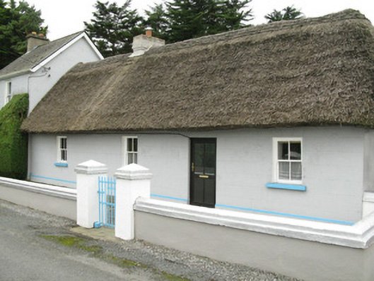 farm house, housefarm house, house · 172 yd
 Sunday WellSpring · 173 yd
 Ballynoe Castle (in ruins)Castle, tower house · 1.7 mi
 European ashEuropean ash · 2.7 mi
 CastleCastle, tower house · 2.8 mi
 Famine stoneMemorial · 4.3 mi
 KnockfeerinaMountain / peak · 4.9 mi
 Flat cemetery in Kiltenan SouthFlat cemetery · 6.0 mi
Other information
Photo: Credit not shown in the picture search · Rights wording not checked; contact us if this picture should be removed