What is recorded here
On high ground, in grassland. There are good views in all directions. A ringfort (TS052-051----) lies 100m to the SSE. Depicted as a standing stone on the 1st (1840) ed. OS 6-inch map. A limestone standing stone (0.52m x 0.17m; H 1.84m), rectangular in plan and orientated ENE-WSW. The top of the stone slopes slightly upwards towards the ENE. There is a depression around the base of the stone due to cattle erosion. One of a group of three intervisible standing stones, with TS052-073---- 370m to the NE and TS052-072---- 520m to the N.
Compiled by: Jean Farrelly
Date of upload: 26 August 2011
The monument record does not grant public access. Check the route and ask the landowner before entering private land.
- What survives
- Recorded monument
Places near here
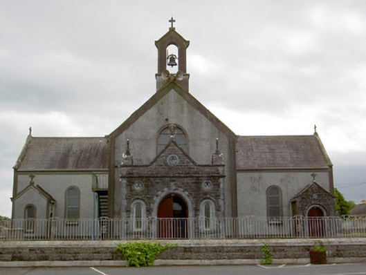 Catholic Church of the Assumptionchurch/chapel · 463 yd
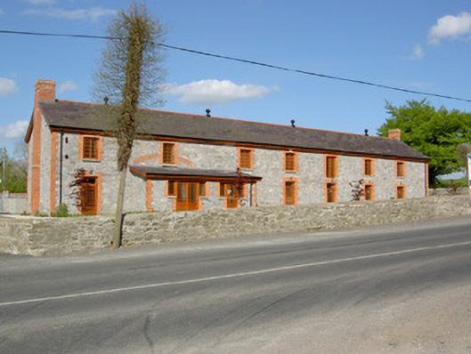 creamerycreamery · 481 yd
 Woodcock GroveWood · 850 yd
 Wych ElmWych Elm · 852 yd
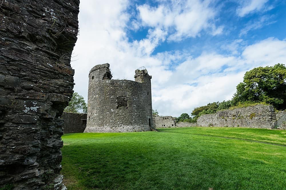 Site of CastleCastle, unclassified · 1207 yd
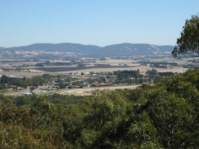 Enclosure in Kilmore UpperEnclosure · 1.0 mi
 IndicatedFairy fort / earthen ringfort · 1.1 mi
 Castle (in ruins)Castle, tower house · 2.0 mi
 Athassel PrioryHeritage attraction · 5.1 mi
 Hore AbbeyHeritage attraction · 5.4 mi
 The Maid of ErinMemorial · 8.2 mi
 GortnageraghMountain / peak · 9.6 mi