What is recorded here
Cairn, a boundary marker in County Laois, was recorded by Roe around 1940. It marked a territorial line in the uplands above Ballaghmore, serving a practical purpose in an open landscape. The site has since disappeared beneath forestry plantation, removing the visible marker that once held the boundary in the air.
In 1734 a farmer discovered a large chamber made of stone flags in the centre of a low hill of stones. The cist contained the skeletal remains of a male (Feehan 1979, 85). Unlocated within townland
Compiled by: Caimin O'Brien
Date of upload: 17 December 2007
The monument record does not grant public access. Check the route and ask the landowner before entering private land.
- What survives
- Recorded monument
Places near here
 Saint Manman's Catholic Churchchurch/chapel · 112 yd
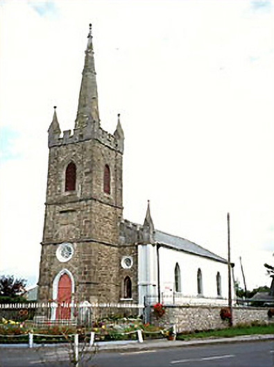 Clonaslee Heritage Centrechurch/chapel · 282 yd
 Ballynakill Castle (ruins)Castle · 400 yd
 Kilmanman church (in Ruins), GraveyardChurch · 1.2 mi
 Ecclesiastical enclosure in KilmanmanEcclesiastical enclosure · 1.2 mi
 IndicatedEnclosure · 1.2 mi
 Turrets (in Ruins)Bawn · 1.7 mi
 Slieve Bloom MountainsMountain range · 3.9 mi
 Mullagh HillMountain / peak · 3.9 mi
 Church (in Ruins), Graveyard, CarrigeenChurch · 4.3 mi
 Red HillMountain / peak · 4.3 mi
 Derryad WoodForest · 4.9 mi