What is recorded here
In mature tillage (H 0.5-0.6m), on a SE-facing slope. No visible surface trace. Identified as a rectangular cropmark (long axis generally NE-SW) on colour aerial photographs (ASIAP (33) 18-20).
Compiled by: Jean Farrelly
Date of upload: 26 August 2011
The monument record does not grant public access. Check the route and ask the landowner before entering private land.
- What survives
- Recorded monument
Places near here
 Enclosure in Cloghleigh (relickmurray & Athassel Par.)Enclosure · 918 yd
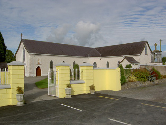 Catholic Church of the Blessed Sacramentchurch/chapel · 1398 yd
 GoldenSettlement cluster · 1410 yd
 IndicatedBridge · 1453 yd
 Castle in ruinsCastle, tower house · 1484 yd
 CastleCastle, motte · 1.0 mi
 Athassel PrioryHeritage attraction · 1.3 mi
 Hore AbbeyHeritage attraction · 3.2 mi
 Dundrum Woods (Marl Bog)Forest · 5.8 mi
 European ashEuropean ash · 5.8 mi
 I.R.A. 3rd. Tipperary Brigade MemorialMemorial · 7.7 mi
 SturrakeenMountain / peak · 8.1 mi