What is recorded here
Clogheen is a lost fort, erased by plough and pasture, yet life still marks its shape. Grass grows taller along the hidden circle, giving the fort back each summer. The fairies never left; they simply stopped needing walls.
In pasture, atop hill. Depicted as hachured circular enclosure (diam. c. 40m) on 1842 OS 6-inch map; as hachured circular raised area (diam. c. 40m) on 1905 and 1937 OS 6-inch maps. Levelled; undulations visible in area of site. 'Ringfort' inspected by OPW, in 1974, prior to land project works. Scarp of circular raised area clearly visible, due to differential growth pattern, in aerial photograph taken July 1989 (CASAP).
The above description is derived from the published 'Archaeological Inventory of County Cork. Volume 4: North Cork' (Dublin: Stationery Office, 2000). In certain instances the entries have been revised and updated in the light of recent research.
Date of upload/revision: 14 January 2009
The monument record does not grant public access. Check the route and ask the landowner before entering private land.
- What survives
- Recorded monument
Places near here
 IndicatedQuarry · 291 yd
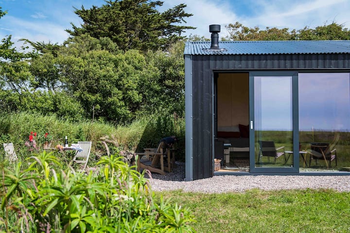 Enclosure in Clogheen (fermoy By.)Enclosure · 350 yd
 Grave YardGraveyard · 521 yd
 Kilmacoomgates/railings/walls · 810 yd
 Caherduggan Castle (Site of)Castle, unclassified · 836 yd
 CastleCastle, unclassified · 1.3 mi
 Doneraile HouseHeritage attraction · 2.0 mi
 European YewEuropean Yew · 2.1 mi
 Smith's WellSpring · 2.1 mi
 Charles BunworthMemorial · 2.4 mi
 Lover' LeapCliff · 4.8 mi
 Lover's LeapCliff · 4.9 mi