What is recorded here
Five stones still stand in the Donegal bog, though peat has swallowed two others. The largest rises one and a half metres above the black water, aligned northeast to southwest like a needle dropped across green land. Nobody now knows whether they marked a boundary, a ceremony or a line of stars. The bog keeps taking them back one by one, as if remembering the shape and then forgetting it again.
Marked in gothic script on current edition of the Ordnance Survey map as 'Cloghbane'.
Compiled by: Caimin O'Brien
Date of upload/revision: : 19 July 2010
The monument record does not grant public access. Check the route and ask the landowner before entering private land.
- What survives
- Recorded monument
Places near here
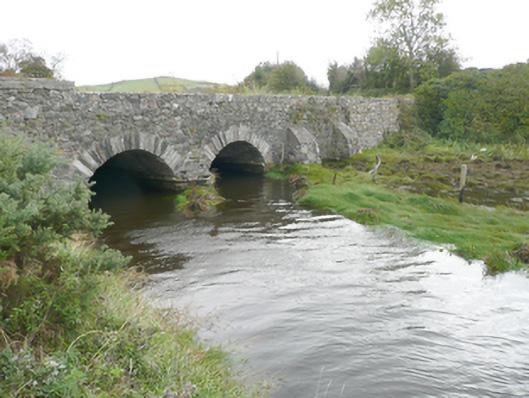 New Bridgebridge · 568 yd
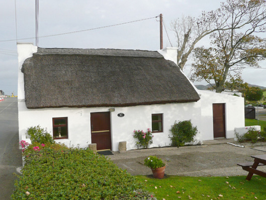 Kinard Cottagehouse · 897 yd
 Drumfad Lower Standing StoneStanding stone · 1.3 mi
 Moross Fairy Fort / Low PlatformFairy fort / earthen ringfort · 1.6 mi
 Moross CastleCastle, tower house · 1.9 mi
 PortsalonOfficial bathing water · 2.5 mi
 Ballymastocker StrandViewpoint · 3.0 mi
 Wild Atlantic Way:Ballymastocker StrandVisitor information · 3.0 mi
 Wych ElmWych Elm · 3.4 mi
 Old CastleCastle, unclassified · 3.5 mi
 HazelHazel · 3.5 mi
 Cranberry IslandIslet · 3.6 mi