What is recorded here
Moat stands in County Cork as a vanished square enclosure, perhaps twenty to twenty-eight metres across, mapped repeatedly before local memory placed it under flax water and later levelled in the 1960s. Its remaining depression still marks the west half, while gardens and ordinary life have taken the east. The site may have been a residence, a workshop or a boundary marker, but its shape resists easy judgement because water, fields and forgetfulness have all touched it. What is certain is that Moat was large enough to map, distinct enough to remember and changed enough to disappear.
Depicted as hachured square enclosure (c. 28m N-S; c. 28m E-W) on 1842 OS 6-inch map; as hachured square raised area (c. 20m N-S; c. 20m E-W) on 1905 and 1936 OS 6-inch maps; external fosse shown along S, W and W half of N side on 1936 OS 6-inch map. In pasture. Area of site divided in half by N-S field boundary: to E are gardens of houses; W half defined by slight depression to S and W with W depression continuing N to field boundary. According to local tradition, levelled in 1960s; surrounded by water-filled 'dyke' which was used in flax processing.
The above description is derived from the published 'Archaeological Inventory of County Cork. Volume 4: North Cork' (Dublin: Stationery Office, 2000). In certain instances the entries have been revised and updated in the light of recent research.
Date of upload/revision: 14 January 2009
The monument record does not grant public access. Check the route and ask the landowner before entering private land.
- What survives
- Recorded monument
Places near here
 Cloch an Othara HouseHouse, vernacular house · 610 yd
 IndicatedHouse, vernacular house · 689 yd
 LissareeFairy fort / earthen ringfort · 984 yd
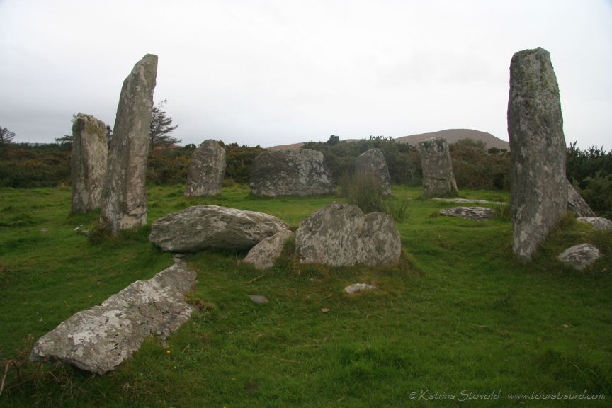 BarrowBarrow, ring-barrow · 988 yd
 TumulusCastle, motte · 1557 yd
 CastleCastle, motte · 2.5 mi
 Holy Cross CemeteryGraveyard · 3.2 mi
 Windmill HillMountain / peak · 3.8 mi
 Ballyhoura WayWalking route · 4.5 mi
 Saint Derivla's WellSpring · 5.2 mi
 Battle of LiscarrollMajor battlefield · 5.8 mi
 Our Lady's WellSpring · 6.3 mi