What is recorded here
Fairy fort / earthen ringfort in Cloghanaskaw is a fairy fort or earthen ringfort in Cloghanaskaw, County Westmeath, Ireland. The 1973 record described the monument as a large, roughly oval-shaped area measuring 63 metres by 51 metres, enclosed by an inner bank of earth and stone, an intervening fosse, and an outer bank. Traces of the outer bank were recorded only from west-southwest through west to west-northwest, while a possible entrance was noted at the northeast.
Situated on a rise in gently undulating pasture, with good views of the surrounding landscape. Ringforts (WM031-068----/-067----) lie c. 60m to W and c. 165m to N. Depicted on the 1910 ed. OS 25-inch map as a substantial oval-shaped earthwork. Monument described in 1973 as a large, roughly oval-shaped area (dims. 63m N-S; 51m E-W) enclosed by an inner bank of earth and stone, an intervening fosse and an outer bank. Traces of an outer bank are only present from WSW-W-WNW. There is a possible entrance at NE. The interior has a gentle S-facing slope and there is a possible house site (WM031-069001-) within. Monument is visible as a tree-lined earthwork on Digital Globe aerial photography.
Compiled by Alison McQueen, Vera Rahilly and Caimin O’Brien.
Date of upload: 22 November 2019
The monument record does not grant public access. Check the route and ask the landowner before entering private land.
- What survives
- Recorded monument
Places near here
 Hut site in CloghanaskawHut site · 10 yd
 Partially hachuredFairy fort / earthen ringfort · 583 yd
 Windmill StumpRuins · 837 yd
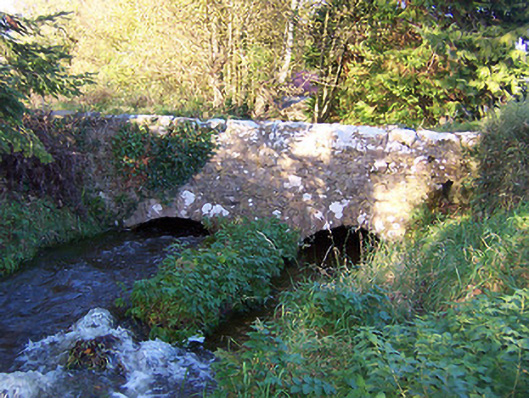 bridgebridge · 1076 yd
 CastleCastle, unclassified · 1.2 mi
 Syonan CastleCastle · 1.3 mi
 Japanese pagoda treeJapanese pagoda tree · 3.7 mi
 Kilmalady HillMountain / peak · 3.8 mi
 ToberaskeenSpring · 6.0 mi
 Roughan HillMountain / peak · 6.1 mi
 Ardan WoodWood · 6.8 mi
 Charles BianconiMemorial · 7.1 mi