
What is recorded here
Situated on a ridge in undulating pasture, in area of rock outcrop with extensive views to S, W and N. Annotated ‘Kilpatrick Fort’ on the 1837 ed. OS Fair Plan map and depicted as an irregular-shaped earthwork. Monument described in 1979 as an irregular almost D-shaped area (dims. 35m N-S; 32m NW-SE) with a short straight side to NW, enclosed by a bank of earth and stone. The bank is best preserved from ENE-E-S and is very faint from S-SW and from WNW-N. The remains of an old field wall are built against the outside of the bank from N-E and the monument is cut by a public road running NNE-SSW to E. There is a narrow fosse-like depression outside the bank from N-E but this may be an old field drain and there is a quarry depression outside the bank at E. There is no sign of an entrance. The interior is quite disturbed except for the S and SW quadrants where the ground slopes up from the perimeter towards the centre. Two collapsed areas indicated a probable Man-made underground passage (WM031-066001-) are visible in the N and NE quadrants. The interior to N of the Man-made underground passage is also disturbed. Monument is visible today as a roughly D-shaped earthwork on Digital Globe aerial photography.
Compiled by Alison McQueen, Vera Rahilly and Caimin O’Brien.
Date of upload: 21 November 2019
A local fairy fort (ringfort/rath); wider significance not recorded.
The monument record does not grant public access. Check the route and ask the landowner before entering private land.
- What survives
- Recorded monument
Places near here
 Hut site in CloghanaskawHut site · 582 yd
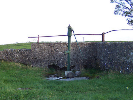 water pumpwater pump · 1086 yd
 Windmill StumpRuins · 1168 yd
 OutlinedEnclosure · 1444 yd
 Syonan CastleCastle · 1757 yd
 CastleCastle, unclassified · 1.5 mi
 Kilmalady HillMountain / peak · 3.5 mi
 Japanese pagoda treeJapanese pagoda tree · 3.6 mi
 ToberaskeenSpring · 5.7 mi
 Roughan HillMountain / peak · 5.8 mi
 Charles BianconiMemorial · 6.8 mi
 The Bob Traynor GalleryGallery · 6.9 mi
Other information
Photo: Credit not shown in the picture search · Rights wording not checked; contact us if this picture should be removed