What is recorded here
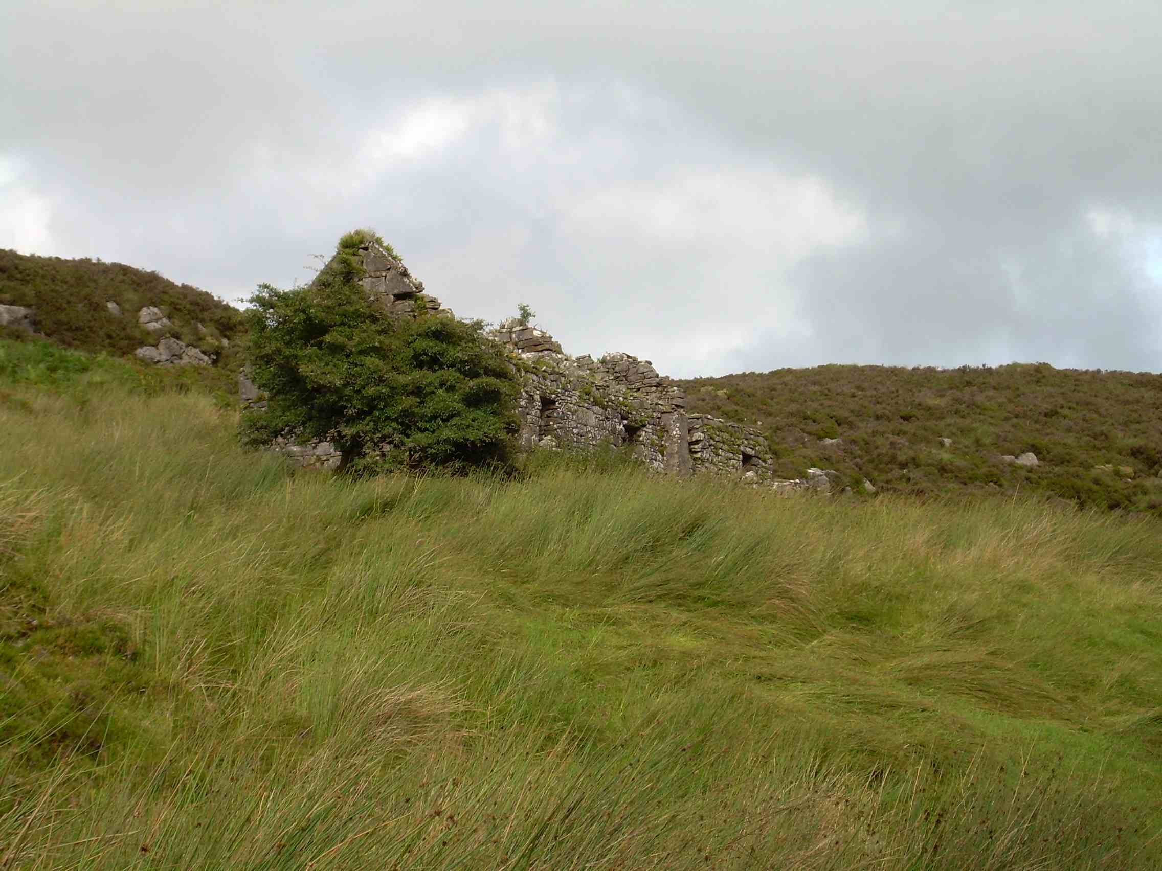
Marked as a circular clochaun on the OS maps, the remains of this structure are now almost completely obscured by collapse and field clearance debris. The circular building shown on the maps about 40m to E is in reality sub-rectangular in outline and was probably an outhouse or animal pen associated with the old village of Glanfahan.
The above description is derived from J. Cuppage, ‘Corca Dhuibhne. Dingle Peninsula archaeological survey. Ballyferriter. Oidhreacht Chorca Dhuibhne’ (1986), no. 1474. In certain instances the entries have been revised and updated in the light of recent research.
Date of upload: 5 August 2013
The monument record does not grant public access. Check the route and ask the landowner before entering private land.
- What survives
- Recorded monument
Places near here
 Clochán MórHeritage attraction · 96 yd
 Man-made underground passage in Gleann FánMan-made underground passage · 131 yd
 Hold a Baby LambHeritage attraction · 148 yd
 CloghaunsFairy fort / stone ringfort · 229 yd
 Binn an ChomaMountain / peak · 1012 yd
 Ceann SléibheHeadland · 1375 yd
 Sliabh an IolairMountain / peak · 1.2 mi
 Traigh an ChomaBeach / strand · 1.3 mi
 Na Leacacha RéidheCliff · 1.5 mi
 Dunmore HeadViewpoint · 1.9 mi
 Church in Baile An GhleannaChurch · 1.9 mi
 Church in Gleann LoicChurch · 2.2 mi