What is recorded here
Under the middle clochaun at Caheradadurras, a narrow drystone passage drops into darkness, its flagged ceiling forming the floor above. The tunnel runs east-west before turning north into a small chamber, tight enough to force a person to crawl or crouch. Built on the southern slopes of Mount Eagle, it overlooked Dingle Bay and may have served as hiding place, store room, or ritual path. Its exact purpose has faded, but the shape remains: a deliberate hole in the earth, made human and still breathing shadow.
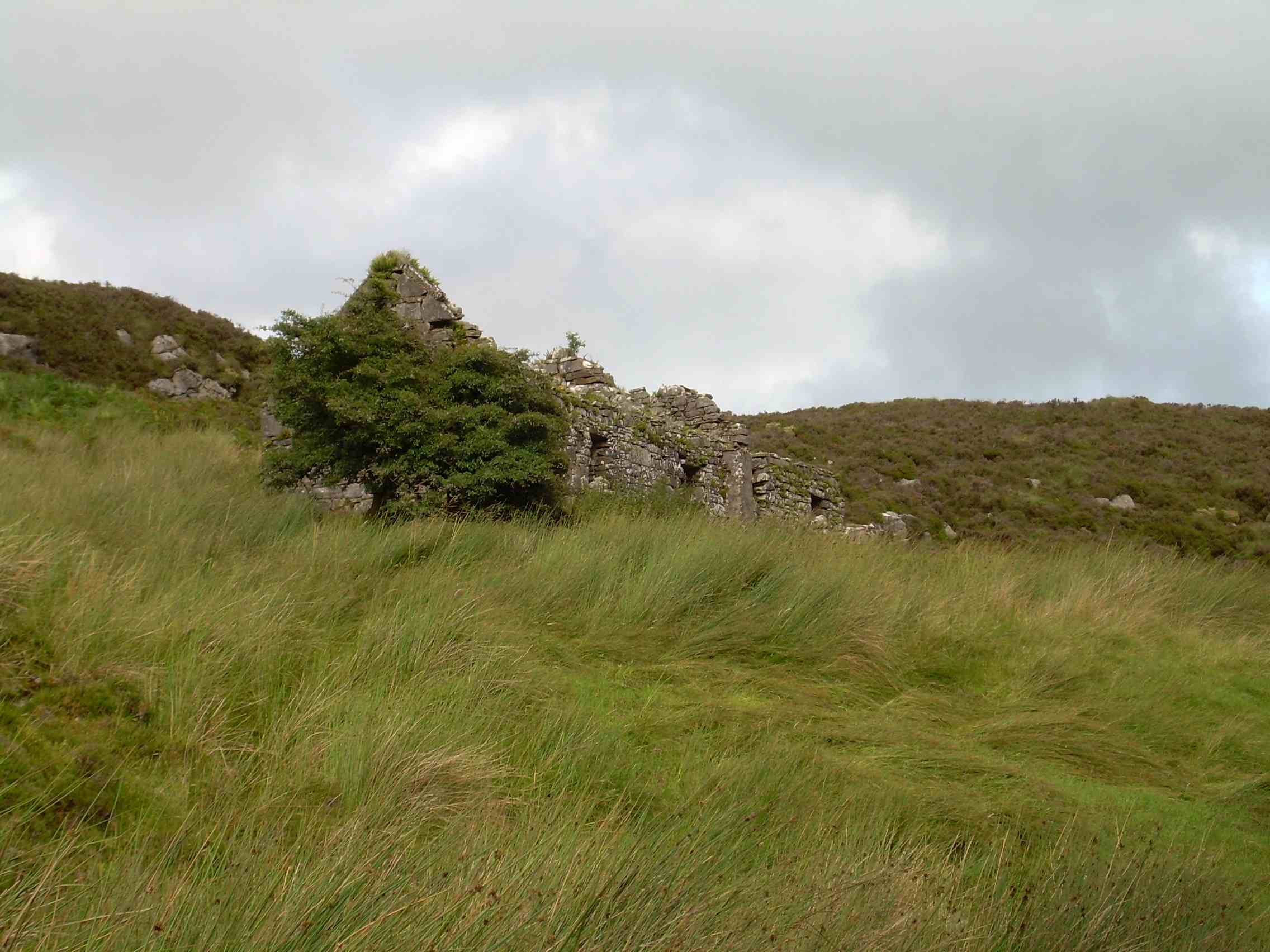
Caheradadurras/Cathair Sayers/Cathair an dá Dhoras (National Monument no.156/1-5): A triple clochaun, of corbelled drystone construction, with a Man-made underground passage opening from the floor of the central hut, and a subsidiary structure at the SE corner which may be modern. It is located on the lower S slopes of Mount Eagle, overlooking Dingle Bay.
Souterrain (KE052-186001-): The well entrance at the W side of the middle clochaun is located at the E end of an L-shaped Man-made underground passage, comprised of a 3.22m long passage running roughly E-W, and a 2.75m long chamber aligned N-S. The passage is .55m wide, .67m high at the entrance and 1.2m high at its W end. A narrow lintelled entrance, .37m wide and .55m high, gives access to the chamber which is 1.05m wide and 1.25m high. The walls are of drystone construction throughout, the basal course consisting of larger stones then the remainder. The floor slopes gently down from the entrance, though the flagged roof maintains a constant level. The flags over the passage form the floor of the entrance passage above.
The above description is derived from J. Cuppage, ‘Corca Dhuibhne. Dingle Peninsula archaeological survey. Ballyferriter. Oidhreacht Chorca Dhuibhne’ (1986), no. 1284. In certain instances the entries have been revised and updated in the light of recent research.
Date of upload: 5 August 2013
The monument record does not grant public access. Check the route and ask the landowner before entering private land.
- What survives
- Recorded monument
Places near here
 Hold a Baby LambHeritage attraction · 26 yd
 Clochán MórHeritage attraction · 115 yd
 Enclosure in Gleann FánEnclosure · 205 yd
 CloghaunsFairy fort / stone ringfort · 301 yd
 Binn an ChomaMountain / peak · 1110 yd
 Ceann SléibheHeadland · 1294 yd
 Sliabh an IolairMountain / peak · 1.3 mi
 Traigh an ChomaBeach / strand · 1.3 mi
 Na Leacacha RéidheCliff · 1.5 mi
 Dunmore HeadViewpoint · 1.9 mi
 Church in Baile An GhleannaChurch · 2.0 mi
 Church in Gleann LoicChurch · 2.3 mi
Other information
Photo: Credit not shown in the picture search · Rights wording not checked; contact us if this picture should be removed