What is recorded here
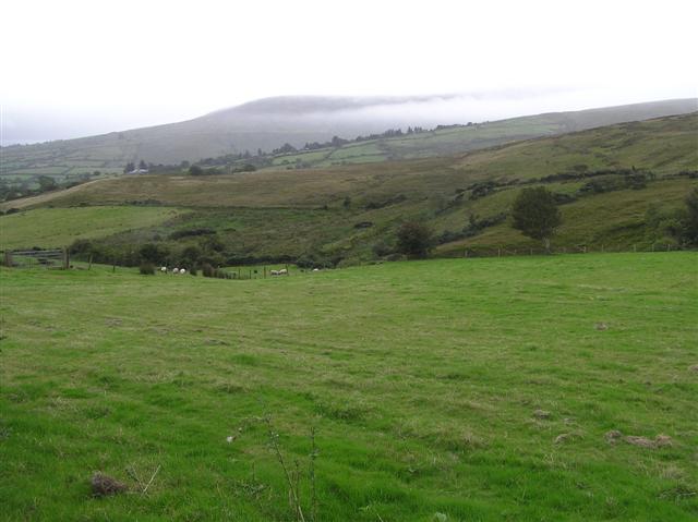
Cairn stands in Cloane, County Derry, an ancient marker from the prehistoric dawn when people first shaped the landscape with their hands. Its uncertain age leaves it suspended in time, neither young nor fully understood, but old enough to have watched every season turn the land over. The stones may have guided travelers, marked a boundary, or honoured a dead person whose name vanished before writing existed. Whatever it did, it still does it, waiting for someone to notice the shape and remember the effort behind the build.
The official Northern Ireland record identifies this as CAIRN. Recorded period: PREHISTORIC; UNCERTAIN. The official map point was placed at the centre of the recorded archaeological site from the source map reference.
The monument record does not grant public access. Check the route and ask the landowner before entering private land.
- What survives
- Recorded monument
Places near here
 ENCLOSURE in CloaneENCLOSURE · 839 yd
 ENCLOSURE in DerrynoydENCLOSURE · 1485 yd
 Moydamlaght ForestForest · 1.8 mi
 Soup KitchenSoup Kitchen · 2.1 mi
_-_geograph.org.uk_-_2309406.jpg?width=1280) Corn StoreStore · 2.1 mi
Corn StoreStore · 2.1 mi Craig-na-ShokeCliff · 2.2 mi
 MullaghmoreMountain / peak · 2.7 mi
 Craigagh HillMountain / peak · 2.9 mi
 Goles ForestNature reserve · 5.4 mi
 Altkeeran WaterfallWaterfall · 5.5 mi
 Craigadick Picnic AreaPicnic place · 5.6 mi
 Banagher Glen - Forest TrailWalking route · 6.0 mi