
What is recorded here
In tillage. An aerial photograph (GB94.FP.13) shows a cropmark of a circular enclosure (diam. c. 40m). The outline of the enclosure is also faintly visible on digitalglobe satellite imagery (viewed 31 July 2018).
Compiled by: Dr. Gillian Barrett for the Archaeological Survey of Ireland and Jean Farrelly
Date of revised upload: 31 July 2018
The monument record does not grant public access. Check the route and ask the landowner before entering private land.
- What survives
- Recorded monument
Places near here
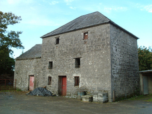 mill (water)mill (water) · 938 yd
 ToberlaghteenHoly well · 1002 yd
 Freshford Fever Hospitalhospital/infirmary · 1251 yd
 Emma Jane Browne-ClaytonMemorial · 1581 yd
 CastleCastle, motte · 1586 yd
 Red horse-chestnutRed horse-chestnut · 1593 yd
 Font in Freshford LotsFont · 1602 yd
 Castle (in Ruins)Castle, tower house · 1.4 mi
 Freshford LoopWalking route · 1.4 mi
 The PondsForest · 1.6 mi
 Anker's IslandIsland · 5.4 mi
 DelaneyMemorial · 7.5 mi
Other information
Photo: Credit not shown in the picture search · Rights wording not checked; contact us if this picture should be removed