
What is recorded here
Indicated is a fading fairy fort on a Galway rise, its thirty-six-metre circle reduced to a bank and shallow ditch that later field walls and a roadway have cut or swallowed. Trees now grow on the remaining northern edge, hiding the old line beneath living shadow. Any passage said to exist inside would have required deliberate digging and memory, yet even that possibility has vanished without a trace.
On a rise in undulating grassland. Poorly preserved circular rath (diam. 36m) defined by a bank
and external fosse from NNW through N to SSE; no visible surface trace survives elsewhere. A later tree-lined field bank, roughly E-W running, incorporates the N sector of the site and from NNW to NNE, where trees are growing on the enclosing bank, its external face has been steepened. Another later field bank, running N-S, lies just inside the line of the original bank at W. A roadway immediately to the S of the monument probably clipped the line of the fosse. Traces of a possible Man-made underground passage (GA107-029001-) lie in the SW quadrant of the interior.
Compiled by: Galway Archaeological Survey, UCG
Date of upload: 27 November 2017
The monument record does not grant public access. Check the route and ask the landowner before entering private land.
- What survives
- Recorded monument
Places near here
 Ahanageelery Bridgebridge · 1341 yd
 Quarry in ClaremaddenQuarry · 1504 yd
 St. Bridgets WellHoly well · 1586 yd
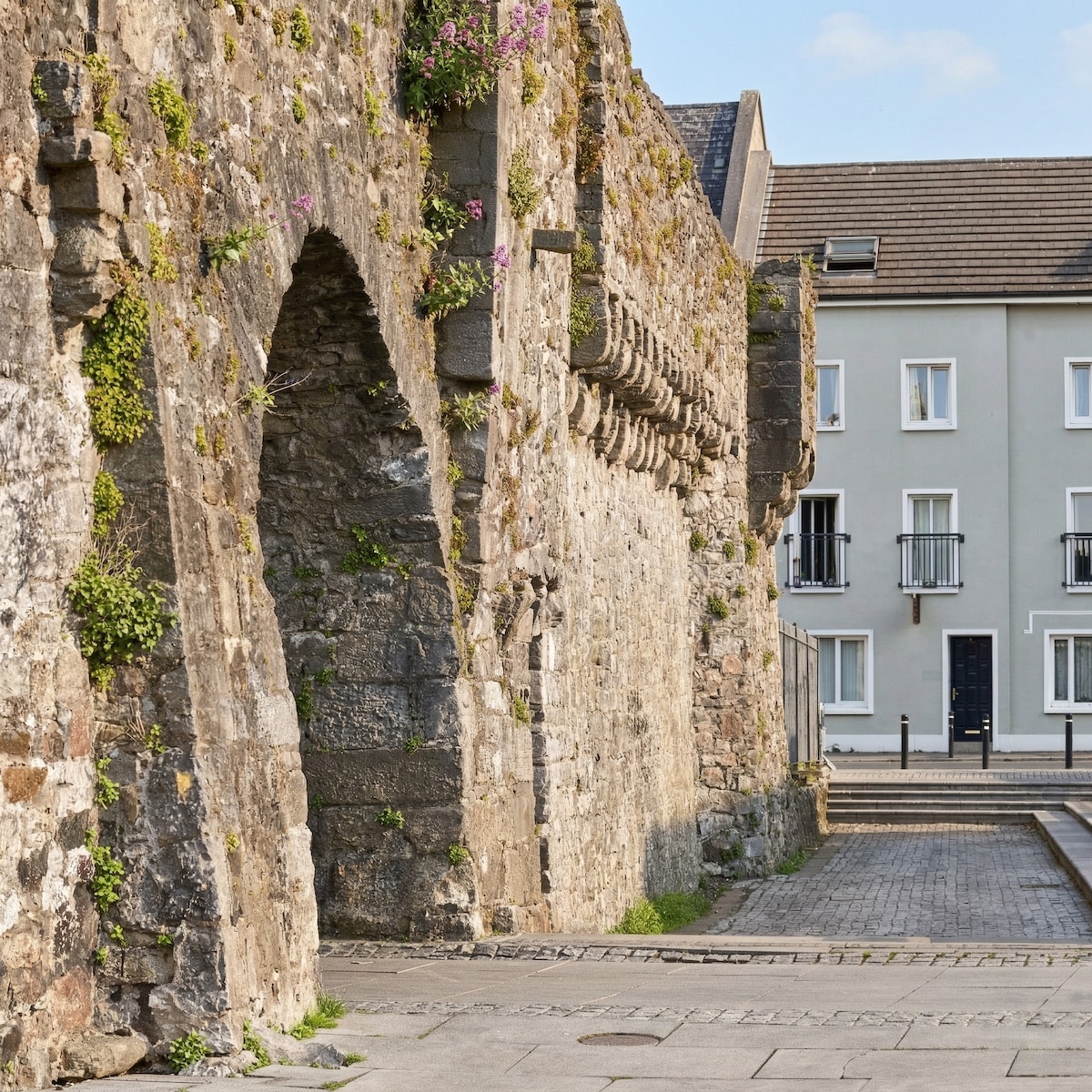 Eskerboy FortFairy fort / earthen ringfort · 1.2 mi
 MoatCastle, motte and bailey · 1.9 mi
 European YewEuropean Yew · 2.8 mi
 European BeechEuropean Beech · 3.1 mi
 Bawn in Cooltymurraghy (clonmacnowen By.)Bawn · 3.2 mi
 The bloody HollowHeritage attraction · 5.8 mi
 Battle of AughrimMajor battlefield · 6.0 mi
 Urraghry HillMountain / peak · 6.2 mi
 Battle of Aughrim Interpretative CentreMuseum · 6.6 mi
Other information
Photo: Credit not shown in the picture search · Rights wording not checked; contact us if this picture should be removed