
What is recorded here
The official Northern Ireland record identifies this as Circular cropmark - Possible enclosure. Recorded period: UNCERTAIN. The official map point was placed at the centre of the recorded archaeological site from the source map reference.
The monument record does not grant public access. Check the route and ask the landowner before entering private land.
- What survives
- Recorded monument
Places near here
 A.P. SITEA.P. SITE, circular bivallate enclosure · 602 yd
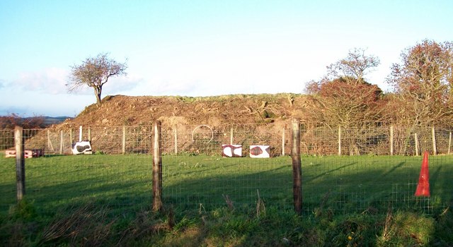 Lismahon MotteArchaeological place · 685 yd
 FORTIFICATION: MACCOURTNEY'S CASTLE in Ballykinler UpperFORTIFICATION: MACCOURTNEY'S CASTLE · 1405 yd
 Man-made underground passageCave · 1.0 mi
 Clough Non-Subscribing Presbyterian ChurchChurch · 1.4 mi
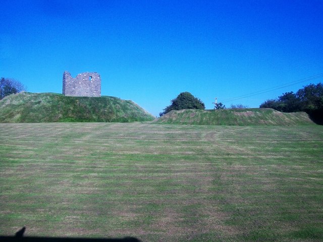 MOTTE & BAILEY AND TOWER-HOUSE: CLOUGH CASTLE in CloughMOTTE & BAILEY AND TOWER-HOUSE: CLOUGH CASTLE · 1.4 mi
 Clough Presbyterian ChurchChurch · 1.4 mi
 Mourne Coastal Route: Dundrum Main StreetVisitor information · 1.5 mi
 Castle PathWalking route · 1.5 mi
 Dundrum CastleHeritage attraction · 1.6 mi
 Seaforde Woodland WalkWalking route · 2.6 mi
 Dundrum Inner BayPicnic place · 2.6 mi
Other information
Photo: Credit not shown in the picture search · Rights wording not checked; contact us if this picture should be removed