What is recorded here
Indicated was a circular fort in County Kerry pasture, overlooking low western land, until road builders removed its stones in the 1950s. It disappears from the surface but remains named, remembered as a fort and linked to a possible underground passage. The land keeps its shape in loss: a ring emptied of stones, yet still indicated by the hole it made in the world.
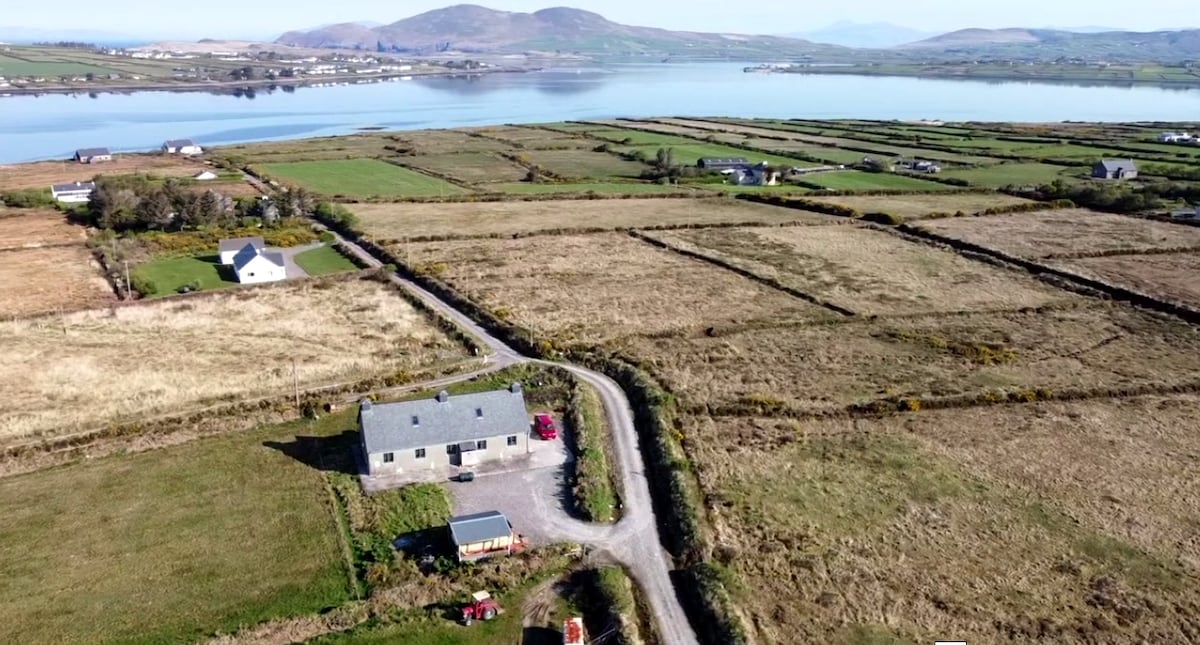
The first edition of the OS map shows a circular enclosure at this location. No surface trace remains of the site, but it is remembered locally as a 'fort' from which stones were removed for building roads in the 1950s. A possible Man-made underground passage (KE088-003001-) is associated with the site. It was located in pasture with a broad view across low-lying land to W.
The above description is derived from A. O'Sullivan and J. Sheehan (compilers), 'The Iveragh peninsula: an archaeological survey of South Kerry'. Cork University Press (1996), no. 677. In certain instances the entries have been revised and updated in the light of recent research.
Date of upload: 29 July 2013
The monument record does not grant public access. Check the route and ask the landowner before entering private land.
- What survives
- Recorded monument
Places near here
 Shrine in AghatubridShrine · 794 yd
 Megalithic structure in AghatubridMegalithic structure · 820 yd
 Mc Crehins Castle (Site of)Castle, unclassified · 1.9 mi
 Laharn Bog LoopWalking route · 2.2 mi
 FoilcloghMountain / peak · 2.2 mi
 Fermoyle Castle (in Ruins)Castle, tower house · 2.4 mi
 BenteeMountain / peak · 2.5 mi
 Kineigh Househouse · 2.7 mi
 RoadRoad, road/trackway · 2.9 mi
 Emlagh LoopWalking route · 3.1 mi
 Foughil IslandIslet · 3.5 mi
 Reenrow BeachBeach / strand · 3.6 mi