What is recorded here
Yes. That is the only fact in the last answer, not a claim about the place.
On SSW-facing slope to SSE of Cill Éinne, Inis Mór. Very poorly preserved subcircular cashel (N-S 37.5m; E-W 35m) defined by a grassed-over drystone wall. An animal shelter has been built into the wall at NE. Possible entrance at E. In the interior is a subcircular stone hut (GA119-013001-). (Robinson 1980)
The above description is derived from the published 'Archaeological Inventory of County Galway Vol. I - West Galway'. Compiled by Paul Gosling (Dublin: Stationery Office, 1993).
Date of upload: 05 August 2010
The monument record does not grant public access. Check the route and ask the landowner before entering private land.
- What survives
- Recorded monument
Places near here
 Hut site in Cill ÉinneHut site · 1 yd
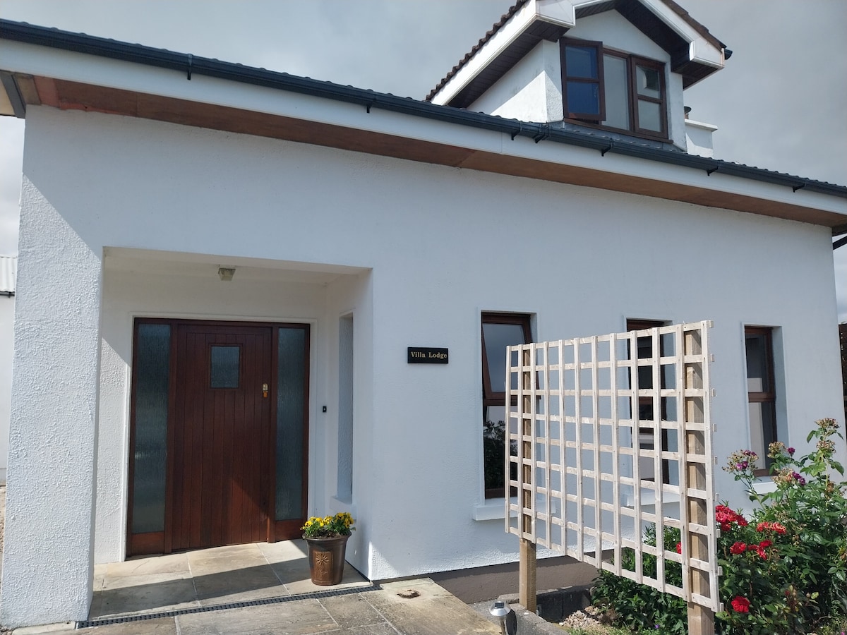
 Killeany Lodgehouse · 148 yd
 monumentmonument · 279 yd
 Teampall BheanáinHeritage attraction · 369 yd
 CrossCross, High cross · 414 yd
 Arkin's CastleCastle · 597 yd
 Martin's TowerHeritage attraction · 1.2 mi
 Oileán na TuíIslet · 1.8 mi
 Trá na mBuailte (Beach of the Booly)Beach / strand · 2.2 mi
 An CharcairMountain / peak · 2.7 mi
 ÁrainnIsland · 3.1 mi
 Seal Colony LookoutViewpoint · 3.3 mi