
What is recorded here
In pasture, immediately to the W of the Royal Canal. Depicted as a small rectangular building, aligned NE-SW, with the designation ‘Church’ on the 1837 ed. of the OS 6-inch map. No visible surface trace survives.
Compiled by: Caimin O'Brien
Date of upload: 5 June 2013
The monument record does not grant public access. Check the route and ask the landowner before entering private land.
- What survives
- Recorded monument
Places near here
 Site of churchRuins · 12 yd
 Bawn in BallyknockBawn · 788 yd
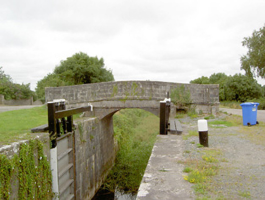 Coolnahinch Bridgebridge · 827 yd
 StructureStructure, peatland · 839 yd
 Burial ground in AghnashinganBurial ground · 1541 yd
 CastleCastle, unclassified · 1.0 mi
 Corlea Bog Walk Blue LoopWalking route · 1.6 mi
 Corlea Trackway Interpretative CentreHeritage attraction · 1.8 mi
 Corlea Bog Walk Canal BranchWalking route · 1.8 mi
 Graveyard in Curry (ardagh By., Coolamber Ed)Graveyard · 3.6 mi
 White Sand WoodWood · 6.4 mi
 Culnagore WoodForest · 6.5 mi
Other information
Photo: Credit not shown in the picture search · Rights wording not checked; contact us if this picture should be removed