What is recorded here
Dundonald in County Down is a modern church standing on a medieval graveyard, but a visible coffin lid and a possible underground passage keep the older dead close to the living worship. The thirteenth-century site suggests that prayer, burial and hidden movement once shared one place, while the newer building continues the same human habit of marking death and hoping for company beyond it.
The official Northern Ireland record identifies this as MODERN CHURCH on site of MEDIEVAL CHURCH & GRAVEYARD, with COFFIN LID & possible Man-made underground passage: DUNDONALD. Recorded period: E.CHRIST.; MEDIEVAL; MODERN; C13TH. The official map point was placed at the centre of the recorded archaeological site from the source map reference.
The monument record does not grant public access. Check the route and ask the landowner before entering private land.
- What survives
- Recorded monument
Places near here
 Dundonald MoatArchaeological place · 59 yd
 Cleland MausoleumMausoleum · 59 yd
_-_geograph.org.uk_-_3201578.jpg?width=1280) Presbyterian ChurchChurch · 138 yd
Presbyterian ChurchChurch · 138 yd AP CropmarksAP Cropmarks, Possible circular enclosure(s) · 1110 yd
 Comber GreenwayWalking route · 1.3 mi
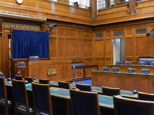 Assembly ChamberHeritage attraction · 1.3 mi
 The Somme MemorialMemorial · 1.4 mi
 Braniel HillMountain / peak · 2.3 mi
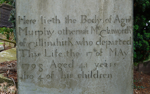 CHURCH RUINS & GRAVEYARD: KNOCK/DUNDELA in KnockCHURCH RUINS & GRAVEYARD: KNOCK/DUNDELA · 2.3 mi
 Conn O'Neill's Castle SiteFort · 3.2 mi
 The HollowWood · 3.3 mi
 FORTIFICATION (site of): MOUNT ALEXANDER CASTLE in Mount AlexanderFORTIFICATION (site of): MOUNT ALEXANDER CASTLE · 3.4 mi