_-_geograph.org.uk_-_3201578.jpg)
What is recorded here
The official Northern Ireland record identifies this as a Grade B1 listed building. Recorded construction date: 1820 - 1839. Current recorded use: Church.
The official record and map point do not grant access. Many historic buildings are privately owned; view them only from public ground unless the owner allows entry.
Places near here
 Cleland MausoleumMausoleum · 134 yd
 Dundonald MoatArchaeological place · 183 yd
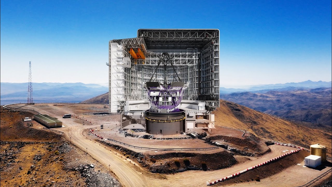 AP CropmarksAP Cropmarks, Possible circular enclosure(s) · 1044 yd
 Stormont CastleOffice · 1.2 mi
 Comber GreenwayWalking route · 1.3 mi
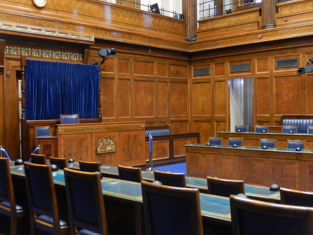 Assembly ChamberHeritage attraction · 1.4 mi
 The Somme MemorialMemorial · 1.5 mi
 Braniel HillMountain / peak · 2.4 mi
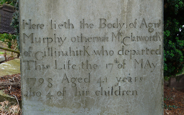 CHURCH RUINS & GRAVEYARD: KNOCK/DUNDELA in KnockCHURCH RUINS & GRAVEYARD: KNOCK/DUNDELA · 2.4 mi
 Redburn Country ParkWood · 2.5 mi
 CairngaverMountain / peak · 2.7 mi
 Cairn WoodForest · 2.7 mi
Other information
Photo: Albert Bridge · CC BY-SA 2.0