What is recorded here
Shown on Speeds map of 1610. After the dissolution of the church and closure of the hospital the site continued in use as a graveyard until the 18th century. Excavations at the rear of Mercer's Hospital in 1992 yielded evidence for the presence of St. Stephens Church and graveyard and the medieval Leper Hospital that was situated on the site (Hayden 1992, 14-15). A cross-inscribed stone was found at the site (Harbison 1998, 175). Furtherexcavations in 1992showed that the graveyard occupied only the northern end of the site. Human burials of 13th to the 16th century date were recovered (Hayden 1993, 21; Buckley & Hayden 2002, 151-94)
The monument record does not grant public access. Check the route and ask the landowner before entering private land.
- What survives
- Recorded monument
Places near here
 Mercer's Medical Centrehospital/infirmary · 43 yd
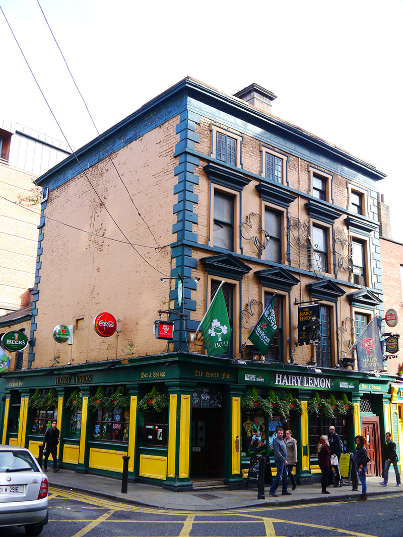 The Hairy Lemonhouse · 70 yd
 Thomas MooreMemorial · 98 yd
 Ecclesiastical enclosure in Unknown TownlandEcclesiastical enclosure · 137 yd
 Gatehouse in Unknown TownlandGatehouse · 220 yd
 Graveyard in Unknown TownlandGraveyard · 266 yd
 Battle of DublinMajor battlefield · 292 yd
 Veronica GuerinHeritage attraction · 328 yd
 Dublin Castlegates/railings/walls · 331 yd
 CastleCastle, Anglo-Norman masonry castle · 387 yd
 Weeping willowWeeping willow · 393 yd
 Tourist Information CentreVisitor information · 435 yd