What is recorded here
On a ridge in undulating grassland; it is situated in a modern L-shaped graveyard. Marked on 1st ed. OS 6-inch map as a small roofed rectangular building (c. 8m by c. 4m), aligned N-S. What survives are the low grassed-over foundation lines of a rectangular building (E-W; L 10.4m, Wth 4.8m). No architectural features are visible. However, the presence of a bullaun c. 9m to S of the church, when coupled with the td. name, hints at an E. Chr. horizon for this site. (O'Flanagan 1927, Vol. 1, 68)
The above description is derived from the published 'Archaeological Inventory of County Galway Vol. II - North Galway'. Compiled by Olive Alcock, Kathy de hÓra and Paul Gosling (Dublin: Stationery Office, 1999).
Date of upload: 05 August 2010
The monument record does not grant public access. Check the route and ask the landowner before entering private land.
- What survives
- Recorded monument
Places near here
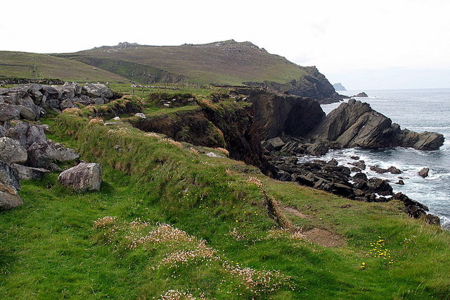 Enclosure in Clogher LowerEnclosure · 1144 yd
 IndicatedFairy fort / earthen ringfort · 1171 yd
 Catholic Church of Christ the Kingchurch/chapel · 2.1 mi
 water pumpwater pump · 2.1 mi
 CastleCastle, unclassified · 2.3 mi
 Slieve DartMountain / peak · 2.5 mi
 Castle in ruinsCastle, unclassified · 2.9 mi
 Rook HillMountain / peak · 4.7 mi
 Site of Killomaine Grave YardArchaeological place · 8.4 mi
 European ashEuropean ash · 14 mi
 Embanked enclosureFairy fort / earthen ringfort · 1676 yd
 Crannog in Beagh (ballymoe By.)Crannog · 1.1 mi