
What is recorded here
The following description is derived from both the published 'Archaeological Inventory of County Louth' (Dublin: Stationery Office, 1986) and the 'Archaeological Survey of County Louth' (Dublin: Stationery Office, 1991). In certain instances the entries have been revised and updated in the light of recent research.
Date of upload/revision: 17 July 2007
Field locally known as 'Chapel Field' on low ridge at edge of cliff. Church marked at this site on sixteenth-century map (CLAJ 1921, 246). No visible trace (CLAJ 1941, 11). The precise location is not known.
This remains an important historical record, but the official description says the monument is no longer visible or has been destroyed. The monument record does not grant public access. Check the route and ask the landowner before entering private land.
- What survives
- No visible remains or recorded as destroyed
Places near here
 The Last Leprechauns of IrelandVisitor information · 99 yd
 Leprechauns caveCave · 110 yd
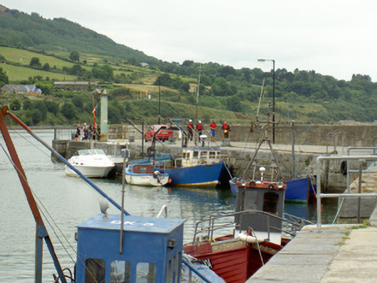 pier/jettypier/jetty · 257 yd
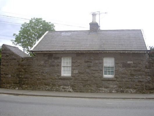 worker's houseworker's house · 380 yd
 Carlingford Ogham StoneMemorial · 557 yd
 Town GateHeritage attraction · 607 yd
 TholselGatehouse · 608 yd
 Graveyard in Liberties OF CarlingfordGraveyard · 622 yd
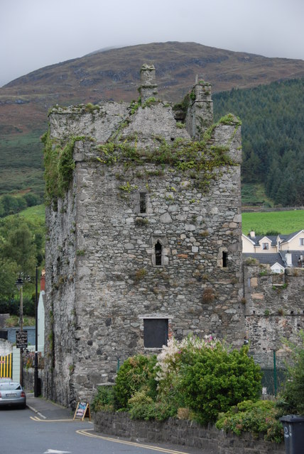 Taaffe's CastleCastle · 623 yd
 Carlingford Heritage CentreVisitor information · 643 yd
 Carlingford CastleHeritage attraction · 662 yd
 CastleCastle, tower house · 664 yd
Other information
Photo: Credit not shown in the picture search · Rights wording not checked; contact us if this picture should be removed