What is recorded here
Unlocated church within townland that is depicted on the Down Survey (1655-6) map of the area (O'Flanagan 1933, vol. 2, p. 296). According to the History of the Queens County 'there was a ruined chapel at Doonbrin, which may be Anglicized 'The Fort of Bran', in this parish, and it lay on the westerrn bank of the Barrow' (O'Hanlon and O'Leary 1907, vol. 1, 184).
Compiled by: Caimin O'Brien
Date of upload: 17 December 2007
The monument record does not grant public access. Check the route and ask the landowner before entering private land.
- What survives
- Recorded monument
Places near here
 Enclosure in Dunbrin LowerEnclosure · 414 yd
 Enclosure in Shanganagh BegEnclosure · 463 yd
 CastleCastle, motte · 609 yd
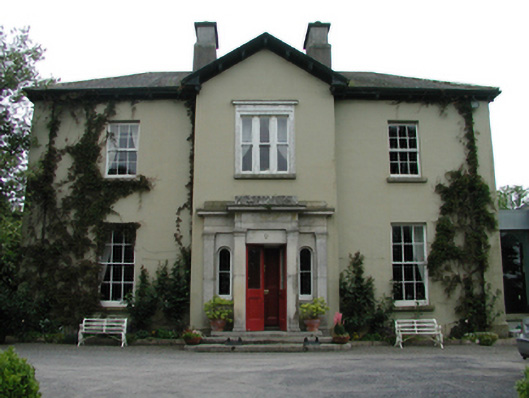 Ardreigh Housemiller's house · 1178 yd
 Neil HannonMemorial · 1234 yd
 Riverviewhouse · 1.1 mi
 .Site of St. Legers CastleCastle, unclassified · 1.5 mi
 Gone FishingMemorial · 1.5 mi
 Town HallMuseum · 1.6 mi
 Scots PineScots Pine · 3.1 mi
 Inch WoodForest · 3.8 mi
 History of Moat of ArdscullVisitor information · 4.7 mi