What is recorded here
Marked on the 1841 edition of the OS 6-inch map. In undulating countryside. According to Carrigan (1905 vol. 2, 353), the church and Graveyard were uprooted and tilled c. 1830. No visible surface remains.
Described by Carrigan as 'There was a church here in remote times, but its remains were destroyed long ago. The graveyard (LA028-027001-), which was used for interments down to the beginning of the 19th century, was uprooted and tilled about 1830. The site of the church and graveyard occupies the top of a green , grassy knoll in the "Churchfield" of Akip and is well known (Carrigan 1905, vol. 2, 353).
The above description is derived from the published 'Archaeological Inventory of County Laois' (Dublin Stationery Office, 1995) compiled by P. David Sweetman, Olive Alcock and Bernie Moran. In certain instances the entries have been revised and updated in the light of recent research.
Date of upload: 17 December 2007
The monument record does not grant public access. Check the route and ask the landowner before entering private land.
- What survives
- Recorded monument
Places near here
 Enclosure in BallycoolidEnclosure · 1239 yd
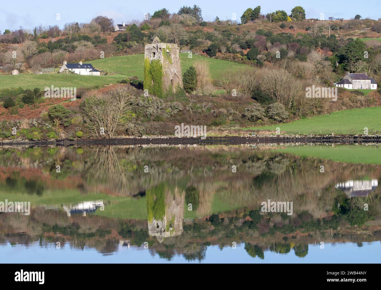 Enclosure in Raheen UpperEnclosure · 1383 yd
 Church in Park (stradbally By.)Church · 1680 yd
 Donaghmore Castle ruinsCastle · 1.0 mi
 Donaghmore MoatCastle, motte · 1.2 mi
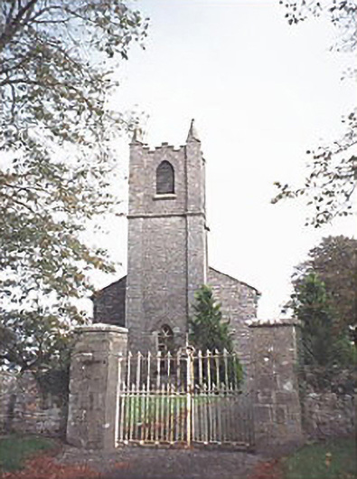 Saint Patrick's Church (Donaghmore)church/chapel · 1.2 mi
 Big WoodWood · 3.9 mi
 European PearEuropean Pear · 4.3 mi
 Cnoc SeanrathaMemorial · 5.7 mi
 DelaneyMemorial · 9.2 mi
 Anker's IslandIsland · 10 mi
 Enclosure in Beckfield,tinnaclohyEnclosure · 1614 yd