What is recorded here
Kilgarvan children died young and were buried inside a circular earth bank beside the road, marked as disused only after human memory faded. The bank still stands one to two metres high around a wide flat space where small bodies may have rested beneath soil and stone. A roadway passes outside the circle, carrying living traffic past the quiet place where childhood ended before it began.
This site consists of a large circular area (KE005-056002-) which is enclosed by a well-defined earthen bank. A roadway runs in a N-S direction along the exterior side of the bank. The internal diameter N-S measures 52m, and 56m E-W. The external height of the bank ranges from 1m-1.8m, the internal height measures .8m and the width of the bank at the base measures c 5m. The interior is at much the same level as the surrounding land. In the NW sector of the interior some large blocks of stone are to be noted, but whether this is their original position or not is questionable. Two main breaks are to be noted in the N bank measuring c 4m in width, and one to the SW which measures c 3m in width. This site is marked on the 1841-42 and 1914 OS maps as a 'Children's Burial Ground (disused)'.
The above description is derived from C. Toal, ‘North Kerry Archaeological Survey’. Dingle. Brandon in association with FAS Training and Employment Authority (1995), no. 849. In certain instances the entries have been revised and updated in the light of recent research.
Date of upload: 3 August 2013
The monument record does not grant public access. Check the route and ask the landowner before entering private land.
- What survives
- Recorded monument
Places near here
 Enclosure in KilgarvanEnclosure · 1 yd
 Burnt spread in KilgarvanBurnt spread · 1268 yd
 Coolbeha Househouse · 1710 yd
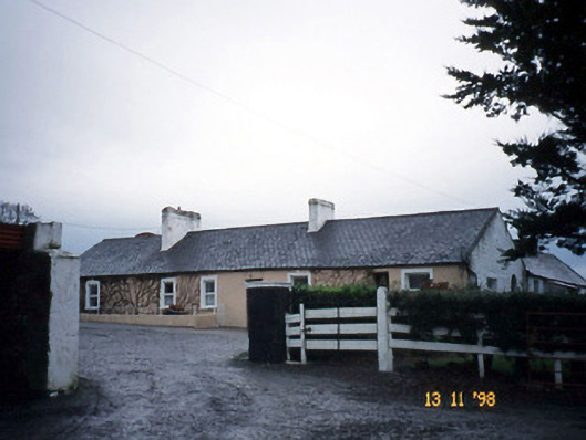 Gunsboroughfarmyard complex · 1.3 mi
 Bawn in BallydonohoeBawn · 1.4 mi
 Bawn in GlouriaBawn · 1.6 mi
 KnockanoreMountain / peak · 3.1 mi
 Lartigue MonorailMuseum · 4.4 mi
 John B. Keane GroveMemorial · 4.5 mi
 Siege of Carrigafoyle Castlesiege · 4.6 mi
 Bryan MacMahonMemorial · 4.8 mi
 Kerry Writers' MuseumMuseum · 4.8 mi