What is recorded here
In pasture, located on a slight rise in undulating terrain, and overlooked at SW-W by higher ground. Nephin Mountain is visible in the distance to S. Roughly trapezoidal, flat-topped mound (7m NNW–SSE; 4m ENE–WSW at NNW end, 5.5m at SSE end) defined around the perimeter by low, sloping sides (H 0.5-0.6m). The mound has an uneven, moss- and sod-covered surface, from which low stones protrude randomly. According to local information, the mound was used as a burial ground for unbaptized babies (pers. comm. Liam Heffron 2014)
Attached image: MA029-059----_01 is viewed from E
Compiled by: Jane O’Shaughnessy
Dat of upload: 6 November 2014
The monument record does not grant public access. Check the route and ask the landowner before entering private land.
- What survives
- Recorded monument
Places near here
 RathmoreFairy fort / earthen ringfort · 507 yd
 IndicatedEnclosure · 805 yd
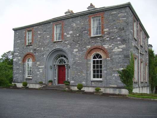 Glenmorecountry house · 988 yd
 Owenmorewalled garden · 1564 yd
 Carn Castle (in Ruins)Castle, unclassified · 2.8 mi
 Enaghmore Castle (in Ruins)Castle, unclassified · 2.9 mi
 Grave of the KingsArchaeological place · 4.6 mi
 Castle IslandIslet · 6.3 mi
 Roe IslandIslet · 6.6 mi
 Lisheen Grave YardArchaeological place · 7.5 mi
 Wild Nephin National ParkNature reserve · 11 mi
 Céide FieldsArchaeological place · 11 mi