What is recorded here
No visible castle, no grand hall, only a shallow circle in the grass where the land still remembers being shaped. If it is a fortress, it is a fortress for somebody smaller, quicker or less honest than people who build monuments they expect to be admired.
In undulating grassland. Poorly preserved subcircular ringfort (N-S 31.5m, E-W 28m) defined by a stone-lined bank which survives from SE to S, and from W to N where it is cut by a trackway. Elsewhere a scarp forms the enclosing element.
The above description is derived from the published 'Archaeological Inventory of County Galway Vol. II - North Galway'. Compiled by Olive Alcock, Kathy de hÓra and Paul Gosling (Dublin: Stationery Office, 1999).
Date of upload: 05 August 2010
The monument record does not grant public access. Check the route and ask the landowner before entering private land.
- What survives
- Recorded monument
Places near here
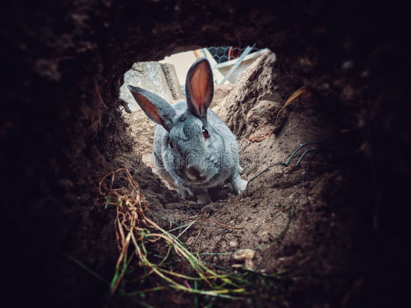 Rabbit BurrowFairy fort / earthen ringfort · 472 yd
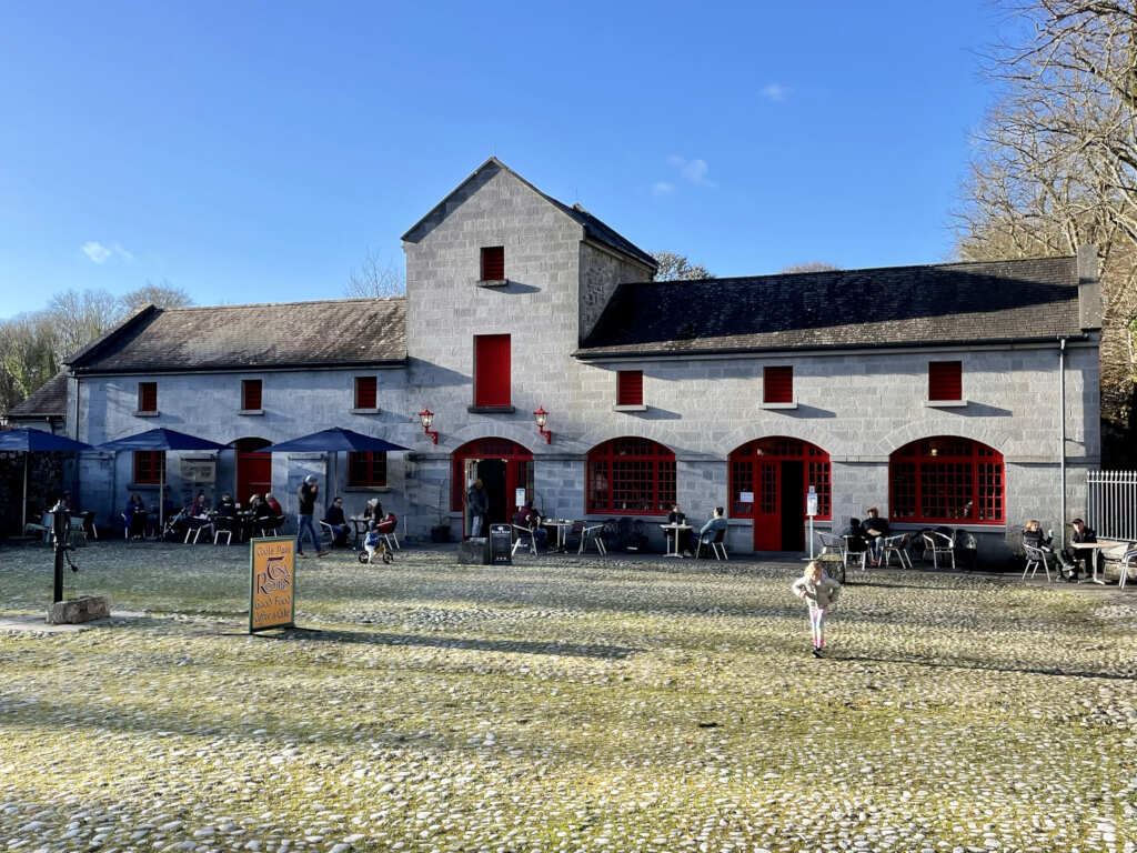 Caltraghgarraun FortFairy fort / earthen ringfort · 695 yd
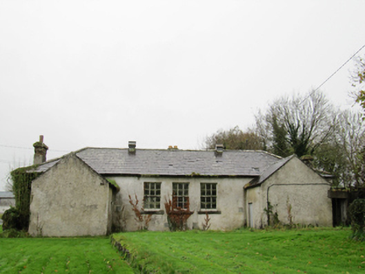 Clontuskert National Schoolschool · 904 yd
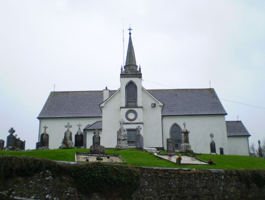 Saint Augustine's Catholic Churchchurch/chapel · 1161 yd
 European BeechEuropean Beech · 1.7 mi
 Ballagh Castle (in Ruins)Castle, unclassified · 1.8 mi
 European YewEuropean Yew · 2.0 mi
 Oghil Castle (in ruins)Castle, tower house · 2.4 mi
 Ardcarn IslandsIslet · 2.6 mi
 Urraghry HillMountain / peak · 2.9 mi
 The bloody HollowHeritage attraction · 3.5 mi
 Battle of AughrimMajor battlefield · 3.8 mi